
Volcanic Origins and Pleistocene Formation
The Smithsonian Global Volcanism Program records Loolmalasin as a Pleistocene volcanic landform. Geotourism research mapping the Crater Highlands identifies it among a cluster of neighbouring lava centres whose successive eruptions shaped the present highland relief. The 2000 Shuttle Radar Topography Mission, conducted by NASA's Jet Propulsion Laboratory, provided detailed elevation data that places Loolmalasin in precise relation to the surrounding craters and calderas.
Position Within the Ngorongoro Conservation Area
Loolmalasin falls within the Ngorongoro Conservation Area, a site inscribed on the UNESCO World Heritage List. UNEP-WCMC records the Conservation Area's highest elevation as 3,648 metres at this summit. The NASA radar imagery situates the mountain south of Ela Naibori crater, anchoring it within a landscape of overlapping volcanic structures that together form the Crater Highlands.
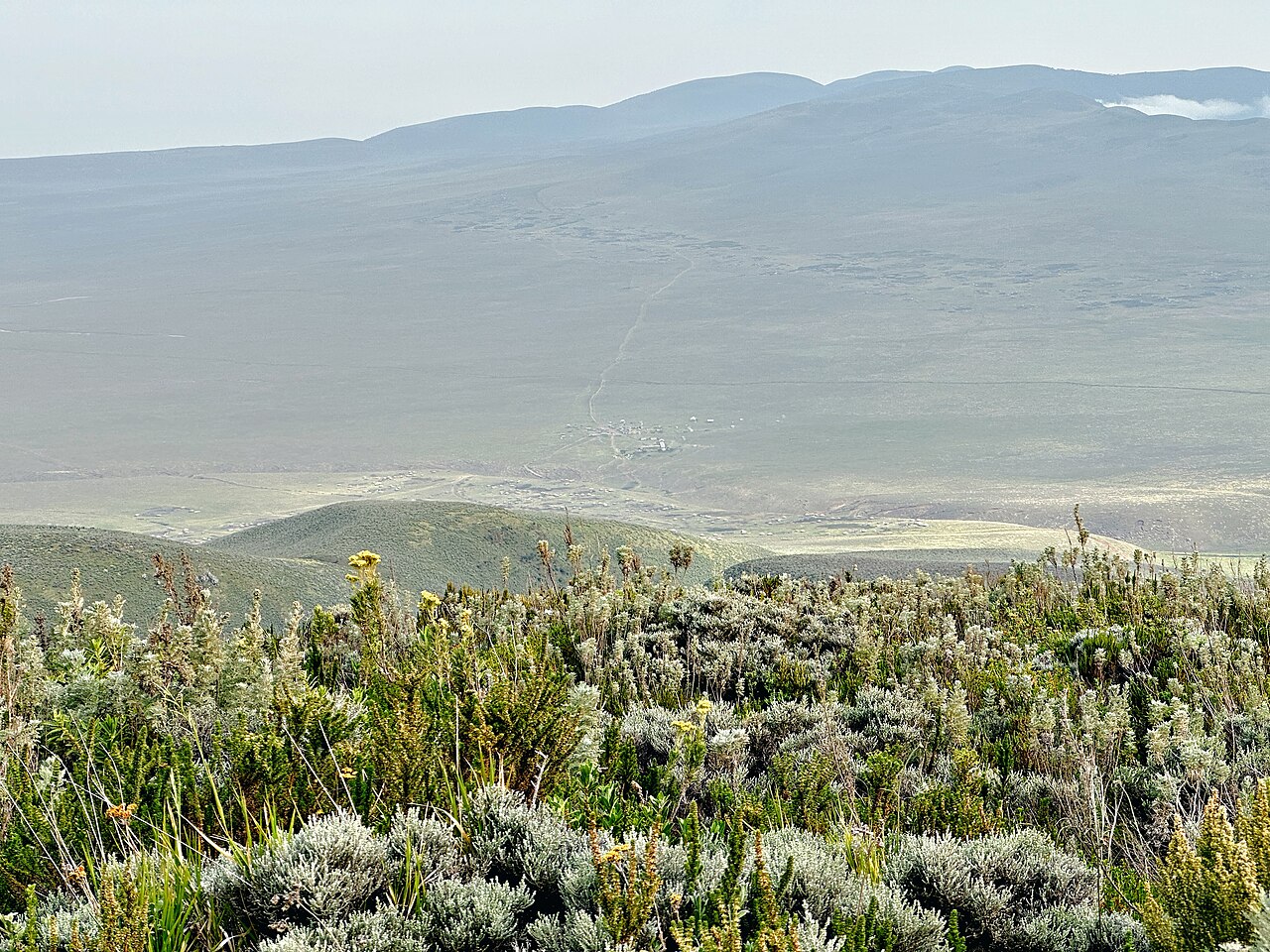
Highland Vegetation of the Crater Highlands
Tanzania's Ngorongoro nomination documents Juniperus procera occurring in high ravines and Artemisia afra in high montane heath across named highland sites that include Loolmalasin. These surveys describe plant communities across the broader highland zone rather than the summit itself. Both species represent characteristic elements of the Afromontane flora recorded throughout this elevated volcanic terrain.