
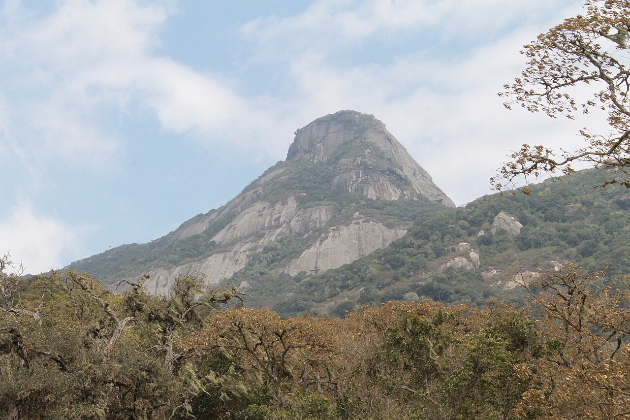
Position on the Gregory Rift Volcanic Lineament
Roger Scoon's geological field synthesis of the Gregory Rift places Longido among stratovolcanoes aligned along structural lineaments northwest of Arusha. This lineament context groups it with the broader suite of Neogene–Holocene volcanic centres that define the northern Tanzanian sector of the East African Rift System.
Vegetation Zones from Base to Summit
A 2025 field study published in the African Journal of Plant Science describes three distinct plant zones on Longido: dry savanna at the base transitioning through upper montane forest to open rocky terrain near the highest elevations. The Tanzanian Ministry of Education's environmental inventory records the Longido Forest Reserve at approximately 2,015 hectares.
Regional Radar and Remote-Sensing Context
NASA Earth Observatory Shuttle Radar Topography Mission coverage of the Crater Highlands provides regional relief data in which Longido appears in the lower left foreground, distinct from the main Crater Highlands massif. This imagery allows direct topographic comparison with Kitumbeine and Gelai across the rift floor.