
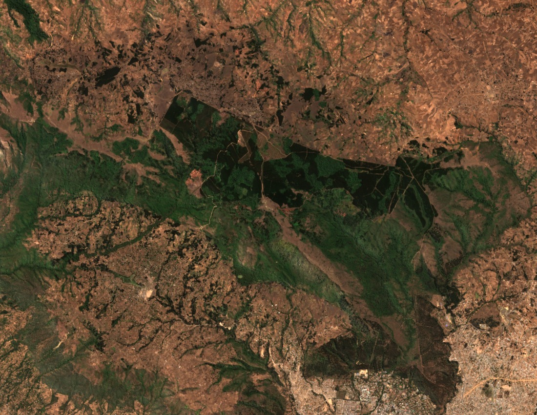
Terrain and Vegetation Mosaic
The slopes of Mount Loleza carry a mixed landscape of bushes, grasses, open patches, and planted areas at varying elevations. Mbeya City Council documentation places the peak at 2,656 metres and identifies it as the high ground immediately north of the city. This combination of habitat types at different elevation bands gives the mountain a layered character visible across its accessible faces.
Mount Loleza Forest Reserve
The mountain falls within the gazetted Mount Loleza Forest Reserve, a designation that organises land management across its slopes. Mbeya City Council records describe Loleza and the terrain north of Mbeya in relation to this reserve boundary. The Council's socioeconomic profile further distinguishes the Mbeya and Loleza uplands as administratively separate named features within the city council area.
Insect Communities Across Habitat Disturbance
A field study conducted by researchers at Mbeya University of Science and Technology examined insect communities within the Mount Loleza Forest Reserve, comparing groups across disturbed, less disturbed, and undisturbed habitat types at multiple elevations. The study recorded variation in insect assemblages among these habitat categories. The authors used a reference position on the mountain to frame their sampling area rather than to identify the summit.