
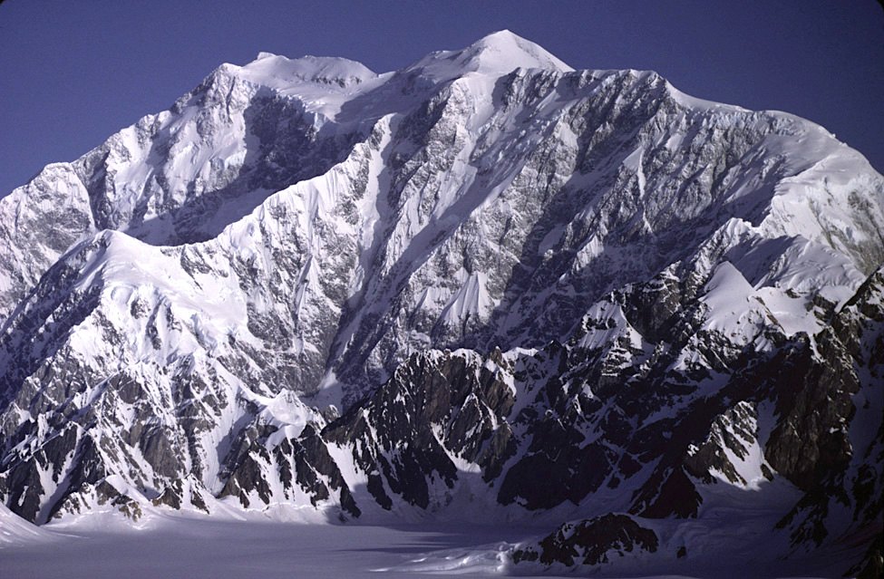
The mountain behind the front ranges
Mount Logan rises in the Icefield Ranges, the interior part of the Saint Elias Mountains in southwestern Yukon. From the Haines Road and the Alaska Highway, the lower Kluane Ranges stand in front of the great icefields. Farther in, moisture from the Pacific falls as snow over the high country and feeds valley glaciers that flow away in several directions.
The massif's summit plateau is roughly 20 kilometres long. A map that gives Mount Logan a single point hides the scale of the crossing between the peaks. That scale is also why Parks Canada's account of the landscape starts with its icefields and valleys as well as its highest points.
Sixty-five days to the first recorded ascent
The Alpine Club of Canada and the American Alpine Club organized the expedition that reached the summit on 23 June 1925. The party approached through Alaska, travelled more than 200 kilometres to the foot of Logan Glacier, and carried supplies between successive camps. Six men stood on the summit. Their whole expedition took 65 days.
Library and Archives Canada places that expedition in the traditional lands of Southern Tutchone First Nations. Its photographs and diaries document what the mountaineers encountered. The region's history also includes the First Nations whose governments now help manage Kluane National Park and Reserve.
Why two surveys differ by two metres
Parks Canada lists Mount Logan at 5,959 m (19,545 ft), the figure obtained in a 1992 GPS survey. A 2021 expedition measured the summit at about 5,957 m above sea level. Its report traces most of the difference to how the teams modelled sea level beneath the range. Their satellite measurements of height above the same reference ellipsoid agreed within about 20 centimetres.
Both teams had to transport instruments onto the plateau. For the later team, that also meant hauling ground-penetrating radar to find deep ice. The work shows what the broad summit offers researchers: room to measure the height of the mountain and to read a record of snow that accumulated there.