
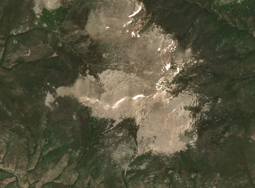
Glaciated Terrain and Ancient Rock
Small alpine glaciers occupied Mount Logan during the Bull Lake and Pinedale glaciations, according to the U.S. Geological Survey. Pinedale glacier deposits across Colorado date to roughly 30,000 to 12,000 years ago.
The local bedrock records a much older history. North of Singleton, the USGS mapped granitic gneiss containing fragments of darker gneiss rich in the mica mineral biotite. The fragments were incorporated into the granitic rock well before ice shaped the mountain’s surface.
Mapping and Survey Record
In 1948 the U.S. Geological Survey published a topographic quadrangle named for Mount Logan. On the map, the peak rises north of the river, which runs past the valley settlements of Grant and Singleton.
A View from Camp Santa Maria
History Colorado holds a photograph Otto Roach took between about 1935 and 1950. Mount Logan and Kataka Mountain, both with snow on their slopes, rise behind Camp Santa Maria. John L. and Mary Dower established the camp for children with limited means in 1930, about a mile east of Grant. Its setting reflects the rise of summer camps in the North Fork valley in the early twentieth century.