
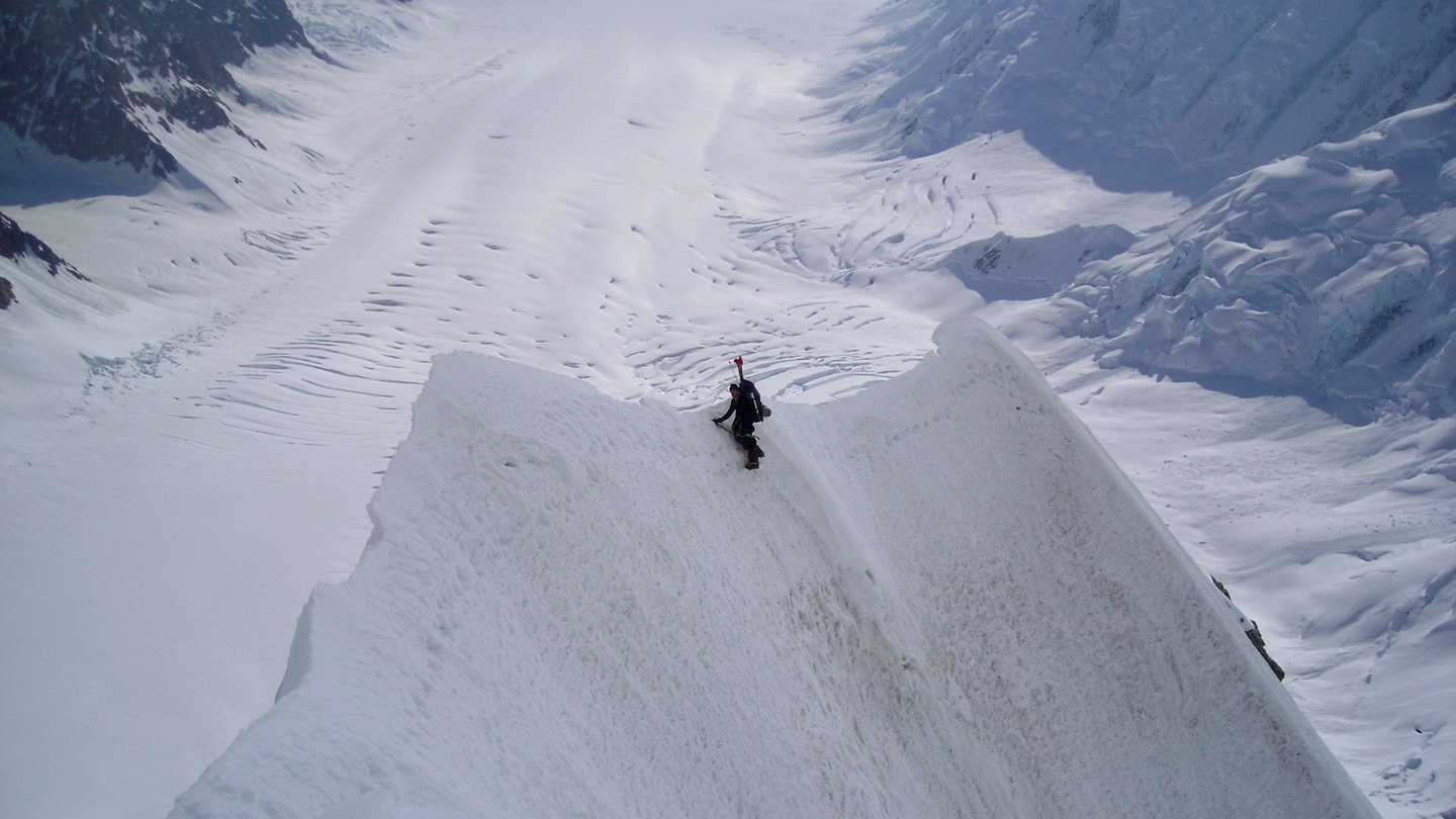
First Ascent and Early Reconnaissance
In 1953 a party identified a ridge route toward the plateau below the East Peak, reaching partway up the approach and providing photographs and information for future expeditions. On July 19, 1957, David A. Collins, Cecil Ouellette, Gilbert J. Roberts, Don Monk, and Kermith Ross made the first documented ascent via the East Ridge. Food for the team was dropped from a Yakutat-based aircraft onto the Hubbard Glacier below the ridge. On June 12, 1959, a six-person Canadian party that included Hans Gmoser and Willy Pfisterer reached the East Peak by the same route.
Elevation Surveys
Walter A. Wood's team measured the east summit at 5,893 m working south of the massif in 1948 and 1949. Gerald Holdsworth reached a figure of 5,897 m from the north side in 1968. By Wood's account, the two triangulation networks shared no common reference point.
1974 Survey Target Placement
On July 9, 1974, Gerald Holdsworth and F. Taxbock ascended the East Peak and placed a 1.5-metre aluminium survey target on the summit, with the observation network set apart from the summit targets. Separately placed targets on the West and High peaks were observed from the North and North East peak stations.