
A Summit on a Named Ridge
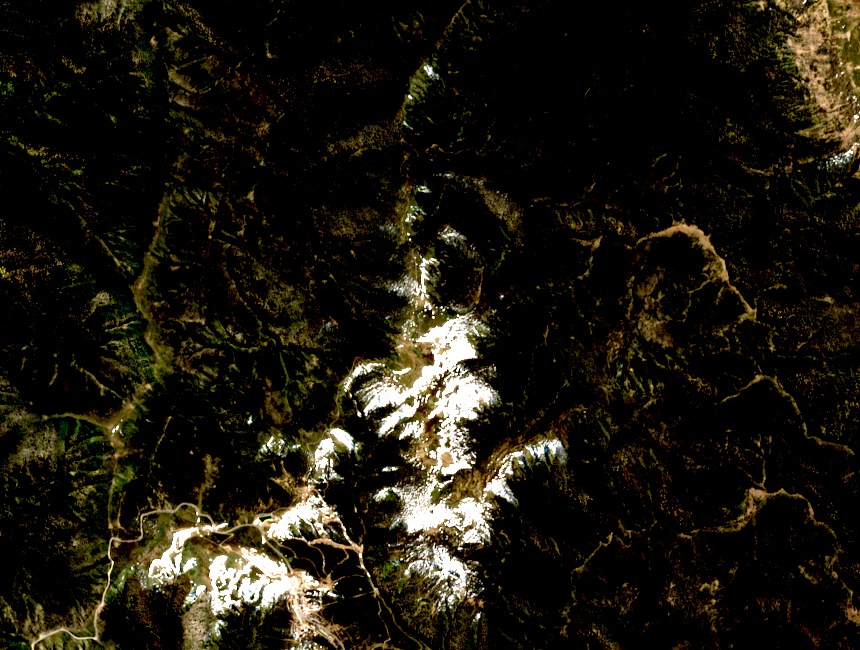
Mount Loch appears as a named summit on the Parks Victoria Bogong High Plains map, sitting along Machinery Spur, a ridgeline running close to Mount Hotham. Its elevation is approximately 1,870 m, with minor variation between map editions and secondary gazetteers. The summit's character derives from its position on a defined spur rather than from isolated standalone relief.
Quartz Reef and the Red Robin Battery
The Falls–Hotham Alpine Crossing interpretation records a quartz reef discovered on Machinery Spur in 1941, drawing prospectors into this part of the high country. The Red Robin Battery, a nearby mining processing installation from that era, is not a summit structure but marks the spur as briefly a site of mid-century industrial activity.
Grazing Exclusion and Catchment Protection
By the 1950s, cattle were excluded from summits including Mount Loch to protect fragile alpine vegetation and water catchments. Research into soil erosion and pastoral history documents this as part of broader high-country conservation efforts. The exclusion converted these summits from grazed high pasture to protected alpine environment.