
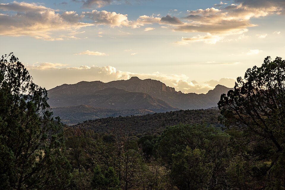
Survey History and the Dual Name
A USGS triangulation bulletin from the federal primary survey program references both Baldy and Livermore Peak as names for the same location in the Davis Mountains. The Texas State Historical Association's handbook similarly records Mount Livermore and Baldy Peak as designations for the highest point in the range. This dual naming reflects the layered history of federal mapping in the Trans-Pecos region.
The summit should not be confused with lower features sharing part of the same names in other states. Within Texas, federal geographic authorities recognize the Davis Mountains high point under the Mount Livermore entry.
Volcanic and Intrusive Geology
The Davis Mountains formed through volcanic and igneous activity, and their rock record reflects that origin. The USDA land resource assessment identifies syenite and other intrusive rock types in the Spring Mountain–Mount Livermore area of the range. Syenite is a coarse-grained intrusive rock compositionally related to granite but lower in quartz, typical of certain alkaline volcanic provinces.
These subsurface rock bodies underlie much of the higher terrain in the Davis Mountains and distinguish the range geologically from the sedimentary basin and range country that surrounds it. The specific rock attributions in the USDA record apply to the area rather than to the summit pinnacle alone.
Sky-Island Habitat and Conservation
The elevation of Mount Livermore places its upper slopes in a markedly cooler and wetter environment than the Chihuahuan Desert floor below, a condition that defines the Davis Mountains as a sky island. The Botanical Research Institute of Texas conducted an original flora survey of the Davis Mountains Preserve and documented multiple plant communities, including distinctive upland vegetation tied to the elevational gradient.
The Nature Conservancy manages the Davis Mountains Preserve to protect these elevationally distinct habitats, recognizing that the biological communities of the higher terrain are isolated from similar environments by the surrounding desert. The preserve's conservation work targets the full spectrum of habitat types within the sky island, from the higher crest down through the transition zones.