
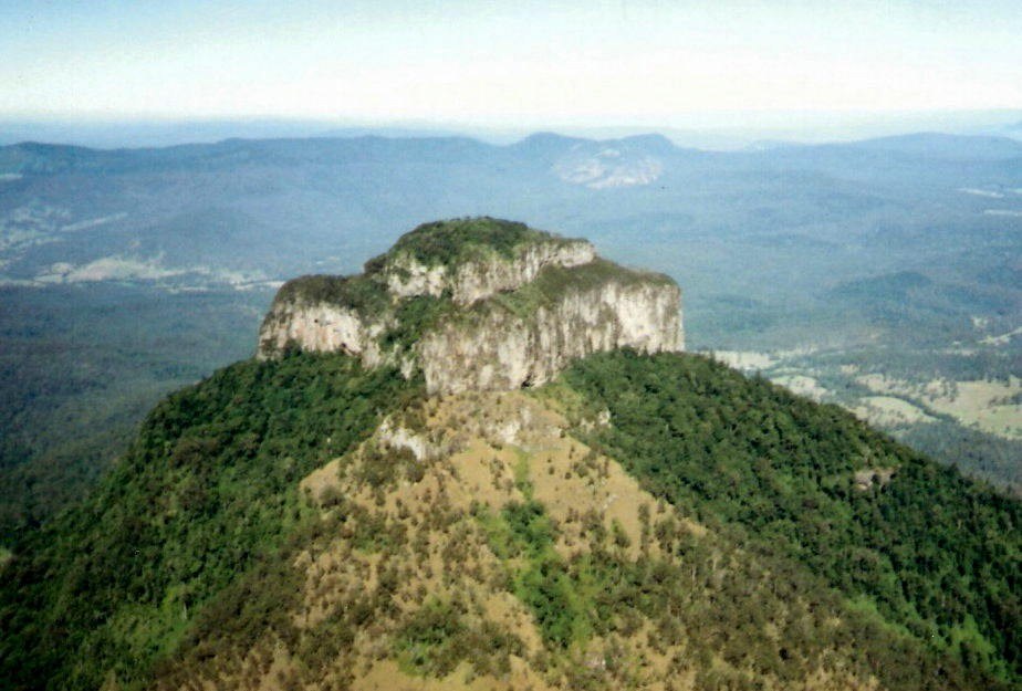
A Volcanic Remnant
Queensland Parks identifies the peaks of Mount Barney National Park, including Mount Lindesay, as remnants of the Focal Peak shield volcano, active approximately 24 million years ago. Prolonged erosion stripped the softer outer flanks, leaving resistant core material as the steep, jointed summit visible today.
Separate Origins, Shared Park
Mount Lindesay and Mount Barney were gazetted as separate national parks in 1947, each recognised for the distinct character of its summit area. Mount Lindesay was later incorporated into Mount Barney National Park. The park as a whole holds Gondwana Rainforests of Australia World Heritage recognition.
Border Geography
The summit sits directly on the Queensland–New South Wales border, giving it a dual administrative identity. Its stepped, rocky form at about 1,175 metres distinguishes it in the landscape and in Queensland Parks documentation from the other peaks carrying the Lindesay name in eastern and western Australia.