
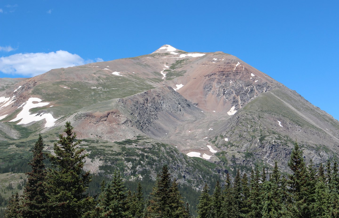
A Name from a Turbulent Year
A historical account attributed to Wilbur F. Stone holds that residents of the nearby settlement of Montgomery named the peak in honor of Abraham Lincoln in 1861, the year Lincoln took office and the Civil War began. Denver7 draws on this account in describing the peak's local history.
Surveys and the View from the Summit
During the Hayden Survey era, a view from Mount Lincoln's summit was published in 1873, connecting the peak to early federal mapping of the Colorado high country. The USGS catalogues Lincoln among its surveyed summits exceeding 14,000 feet, and the Geographic Names Information System records it as a distinct feature from neighboring Bross and Cameron.
The Mining District Below
Gold was discovered in Buckskin Gulch in 1860. Silver ore on Lincoln and Bross was not recorded until 1871. District-wide silver production continued until a price decline in 1892, closing out a documented run of mineral extraction across the surrounding Mosquito Range slopes.