
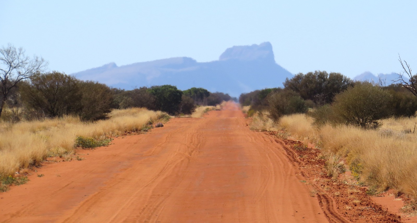
Naming and Nineteenth-Century Exploration
The Northern Territory Place Names Register links the mountain's name to German chemist Baron Justus von Liebig, citing an entry in Ernest Giles's 1872 field diary, and also names W. C. Gosse as a possible author of the name. In his own 1873 account, explorer W. C. Gosse referred to the summit as "Giles's Mount Liebig" as he travelled along the western MacDonnell Ranges.
Tindale's 1932 Field Photography
The South Australian Museum holds August 1932 black-and-white landscape prints from an expedition in which Norman B. Tindale annotated views of Mount Liebig from the field. One annotated print documents a northwest-facing view from Amunurunga Waterhole toward the mountain; a second shows the view southeast from below the summit, with basal rock beds visible in the frame.
Botanical Record and the Talipata Type Specimen
A Northern Territory botanical survey identifies Goodenia faucium from two steep massifs in the far western MacDonnell region. A specimen collected in the Talipata/Mount Liebig area in 1957 provided the basis for the species' formal scientific name, published by Roger Carolin in 1980. Flora of Australia identifies a gorge near the mountain as the collection site.