
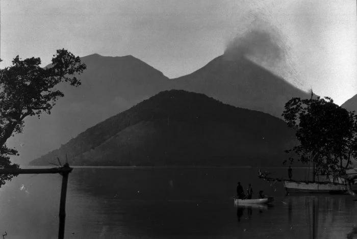
Two Summits, Two Characters
Perempuan holds the elevation record for the complex at 1,703 metres and carries a documented eruptive history that includes activity recorded in 1921 and 1935, according to the Smithsonian Global Volcanism Program. Laki-laki, though lower, is described in monitoring literature as the more frequently active of the pair over the historical record, and its more conical profile gives it a visual prominence on the landscape that belies the difference in absolute height. Both summits developed small lava domes during the twentieth century, a feature the Smithsonian's Global Volcanism Program attributes to each peak individually.
The distinction between the two edifices matters not only geographically but volcanologically. Because Laki-laki sits to the northwest of Perempuan, the direction of any eruptive process originating from one summit does not necessarily implicate the other. Readers and researchers encountering reports about Lewotobi should take care to identify which summit is the subject of a given observation, as conflating the two has historically introduced confusion in secondary accounts.
The 2024–2025 Eruptive Sequence at Laki-laki
The more recent chapter of Lewotobi's history belongs to Laki-laki. An eruption on 3 November 2024 drew significant attention from Indonesia's Center for Volcanology and Geological Hazard Mitigation (PVMBG), the national agency responsible for monitoring the complex. That event was followed by further activity on 20 March 2025. The November 2024 episode was notable enough in its character that PVMBG revised the official hazard map for the complex in its aftermath, citing a newly observed eruptive process directed toward the northwest — the flank facing away from Perempuan.
The agency's analysis, published in the Indonesian Journal on Geoscience, documents both events and their implications for hazard zonation around the complex. Any assessment of risk or alert status contained in those documents is specific to the period covered by the reports; the alert level for the volcano at any given time is subject to revision by PVMBG and should be verified against current agency communications rather than inferred from historical documents.
The twin summits on Flores
Lewotobi rises in the interior of East Flores, an island in the eastern stretch of the Lesser Sundas within Indonesia's broader volcanic arc. The two summits are arranged roughly northwest to southeast, with Laki-laki to the northwest and Perempuan to the southeast. A subsidiary cone, Iliwokar, sits on the eastern flank of Perempuan, adding a third constructional feature to the complex.
The complex is catalogued by the Smithsonian Global Volcanism Program under volcano number 264180, with the GVP profile coordinates placing it at approximately 8.542 degrees south latitude and 122.775 degrees east longitude, within a region where tectonic activity drives sustained volcanism across the Indonesian archipelago. The GVP records, together with PVMBG's monitoring archive, constitute the primary documented sources for the complex's known history.
The historical eruption record
The Global Volcanism Program attributes observed eruptions of Perempuan to 1921 and 1935, providing the principal cross-referenced chronology for that summit's documented activity.
The two summits have not behaved uniformly in the recent record. Laki-laki has produced documented eruptions in the modern period, and hazard maps for the complex have been updated to reflect each summit's distinct eruptive history and exposure zones. Accurate hazard assessment at Lewotobi requires treating the two craters separately rather than as a single source.