
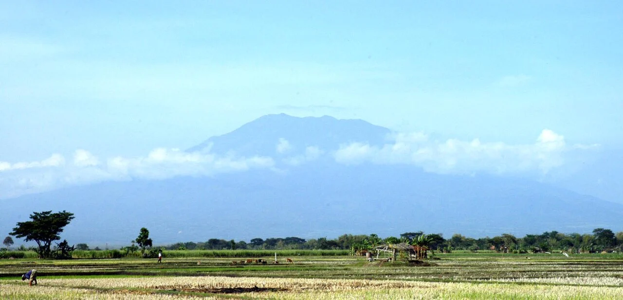
Summit Terrain and Volcanic Character
Hargo Dumilah, also spelled Argo Dumilah, stands at 3,265 metres above an older crater set into the surrounding andesite terrain. The GVP documents southern fumarolic emissions at the mountain. An 1885 account describes light ashfall attributed to Lawu; the GVP carries this event with uncertain status, as the physical evidence has not been confirmed.
The Six-Level Stone Structure
Archaeological fieldwork published by researchers associated with BRIN documented an andesite stone structure north of the older crater near Hargo Dumilah. The structure comprises six stepped levels constructed from the same andesite that forms much of the mountain's geology. The published record establishes the physical form and material; dating and function remain subjects of ongoing scholarly discussion.
Western Slope Temple Complexes
Two separate temple complexes occupy Lawu's western slopes at distinct elevations. Candi Cetho sits at approximately 1,498 metres and Candi Sukuh at approximately 1,186 metres, as described in Indonesian tourism authority documentation. Each complex stands on its own terrace within a different climatic zone and is reached by its own access route.