
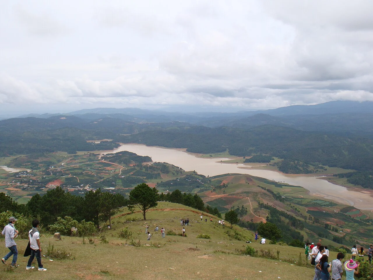
Núi Bà and the Langbiang Group
Langbiang names a cluster of summits rather than a single cone. Núi Bà, at 2,167 metres, is the high point specifically associated with the group and identified under that name in Vietnamese national tourism documentation. Bi Doup, at 2,287 metres, belongs to a different section of the wider protected landscape.
Two Distinct Protected-Area Designations
Bi Doup–Nui Ba National Park was gazetted in 2004, establishing conservation management across the high-elevation terrain. In 2015, UNESCO inscribed the Langbiang Biosphere Reserve under its Man and the Biosphere Programme, a designation operating at a larger geographic scale and encompassing ecosystems and communities beyond the national park boundary.
Forest, Catchment, and K'Ho Communities
UNESCO documentation of the 2015 biosphere reserve records montane forest cover, the freshwater catchment function of the highlands feeding lower-lying areas of Lâm Đồng Province, and the presence of K'Ho communities whose land relationships are formally recognised as integral to the reserve's character under the Man and the Biosphere Programme framework.