
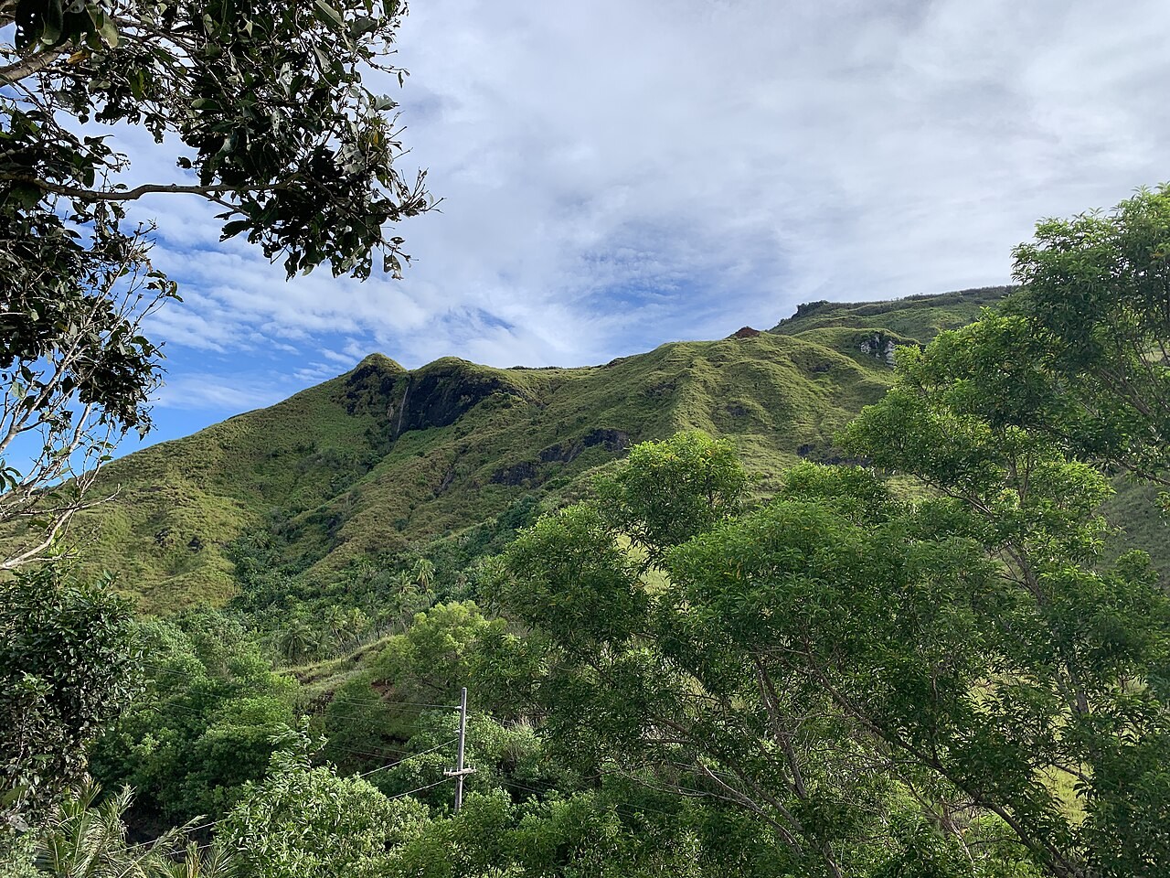
Alifan Limestone
The U.S. Geological Survey traced a thick cap of fossil-bearing Alifan Limestone along the ridge from Mount Alifan to Mount Lamlam. It overlies older volcanic rocks. Across Guam, different fossils and beds in the Miocene–Pliocene limestone record changes in the shallow marine environments where it formed.
A landmark since 1972
Mount Lamlam, Guam’s highest point at 406 m (1,332 ft), became a U.S. National Natural Landmark on November 28, 1972. Fouha Point and Facpi Point received the same designation that day. The three sites preserve different traces of Guam’s geological history.
A shared trail and two summits
From the trail approach to Lamlam, a branch leads to neighbouring Jumullong Manglo. Fourteen crosses mark the Stations of the Cross on the way to Jumullong Manglo, where Guam’s Catholics walk on Good Friday each year. A survey marker set in a concrete platform marks the rocky top of Lamlam.