
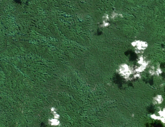
Names, elevations, and the ridge
The SPREP and BIEM field inventory records the summit as Mt Liambele at 879 m. The Vanuatu Tourism Office uses the spelling Mount Laimbele and quotes approximately 850 m in a walking route account. The historic British and French New Hebrides gazetteer indexes the name as LAÏMBÉLÉ near 16°22′S 167°32′E.
A separate neighbour
Nautical direction references name a distinct summit, Mount Penot, separately at 891 m. The historic gazetteer also places Penot at a different position from Laimbele. These are independent named landforms.
The Manbush Trail corridor
Two Vanuatu Tourism Office pages describe related but distinct routes across Malekula. Their Top Hikes page places Melken between Unua and Laimbele; a local provider's Manbush entry describes a route from Unua to Laimbele continuing to Lebongbong and Lawa on South West Bay. These routes pass through the interior terrain that includes the Laimbele ridges. A SPREP biodiversity study documents Malekula's forest habitats at island scale.