
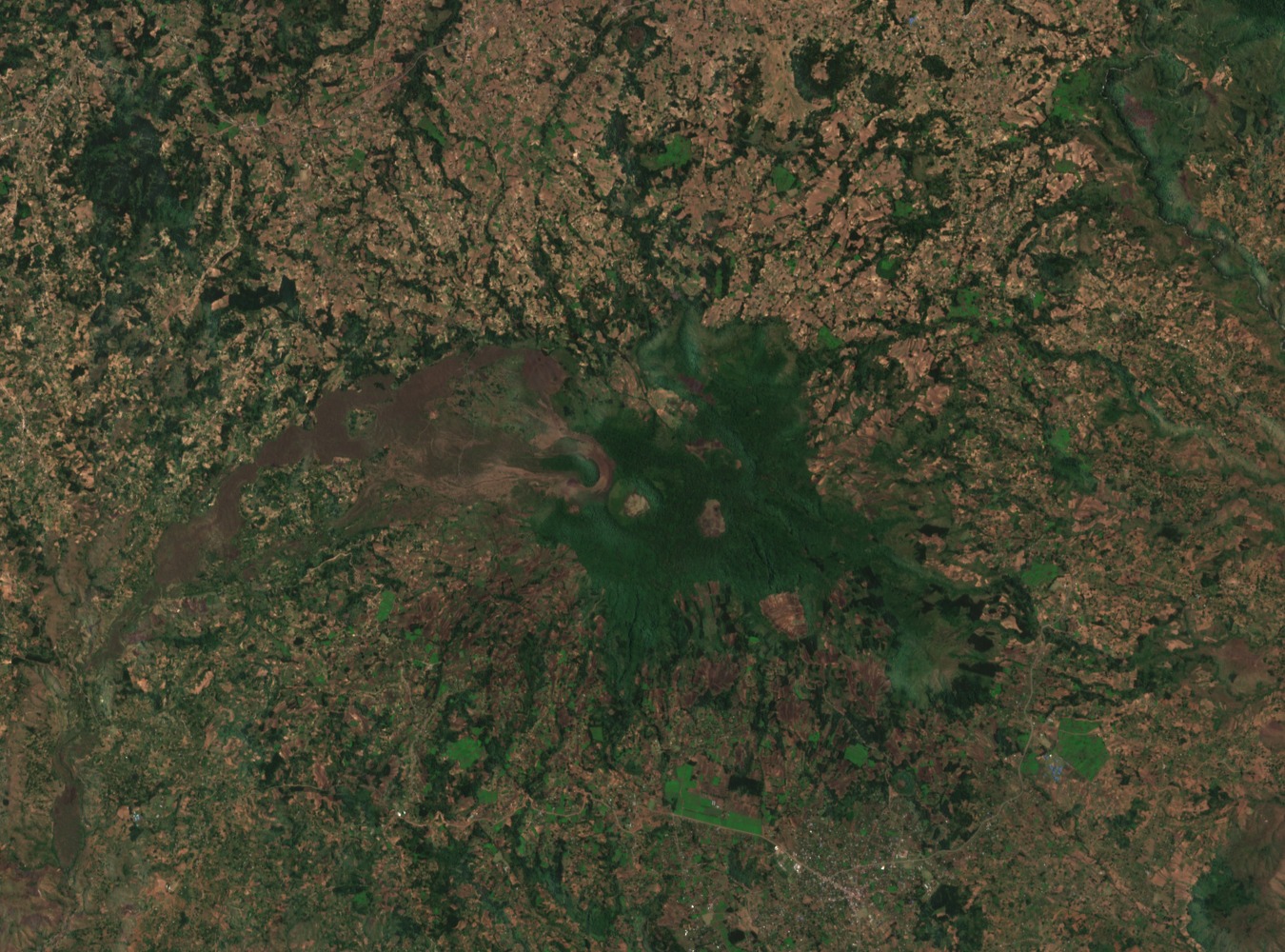
Cinder Cones, Maars, and Later Eruptive Vents
Later volcanic activity at Kyejo produced cinder cones and maars distributed across the edifice. Maars are craters formed when rising magma meets groundwater or surface water, generating explosive steam-driven eruptions that excavate broad, shallow depressions. Several of Kyejo's maars are water-filled, forming crater lakes within the volcanic field.
The Sarabwe and Fiteko Fissure Eruption, around 1800 CE
The Smithsonian Global Volcanism Program records the latest known eruption at Kyejo as occurring around 1800 CE, centered on the Sarabwe and Fiteko cones along a fissure vent system. Lava flows from this event extended approximately 8 km and overran villages in their path.
Tectonic Setting within the Rungwe Volcanic Province
Kyejo sits within the Rungwe Volcanic Province, where volcanism is linked to the tectonics of the East African Rift. Fontijn et al. examined how structural controls shape the distribution and form of Rungwe volcanoes, placing Kyejo within a regionally significant pattern of rift-associated magmatic activity.