
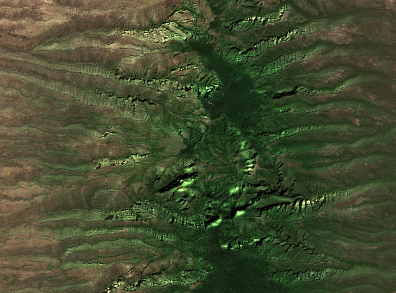
Montane Mist Forest and the Kulal White-Eye
Forests near 2,300 m above sea level receive moisture from persistent mist, sustaining a distinct montane ecosystem that contrasts sharply with the drier slopes and surrounding lowlands. These forests are the habitat of Zosterops kulalensis, the Kulal white-eye, a bird species endemic to the mountain and documented by the National Museums of Kenya as a defining feature of the site's biological significance.
UNESCO Biosphere Reserve Designation
Mount Kulal was designated a UNESCO Man and Biosphere Reserve in the late 1970s, recognising the ecological range from arid lowland scrub to montane forest within a single massif. The designation acknowledged the mountain's role as an isolated refuge for species adapted to its particular conditions amid the broader aridity of northern Kenya.
Kenya's 2023 Tentative World Heritage Submission
In 2023, Kenya submitted Mount Kulal to the UNESCO World Heritage tentative list, a formal step that opens the site to consideration for future inscription. The submission, documented on the UNESCO World Heritage Centre website, presents the volcano's geological history and endemic biodiversity as the basis for outstanding universal value, though no inscription has been made.