
Monero Ngarigo Country and the Snowy Mountains
Kosciuszko National Park, in which the summit sits, is recognised by NSW National Parks as Monero Ngarigo Country — a designation that situates the mountain within a living cultural landscape long before it acquired a European name. The Snowy Mountains as a range are defined less by dramatic vertical relief than by an expansive, rolling high country that retains traces of past glacial activity in its lakes, valleys, and cirque-carved topography.
The broader Main Range walk within the park passes glacial lakes and crosses the Western Fall — the escarpment edge where the high plateau descends toward lower country. This glacial inheritance distinguishes Kosciuszko's surroundings from most other Australian ranges, lending the landscape a character more commonly associated with the mountains of the northern hemisphere.
An Alpine Ecosystem Defined by Water and Snow
Above the treeline, the mountain's terrain resolves into distinct ecological communities: herbfields of low flowering plants, feldmark communities of wind-pruned cushion plants adapted to the most exposed ridges, and waterlogged sphagnum bogs occupying depressions where snowmelt collects. The sphagnum bogs function as a slow-release reservoir, absorbing winter snowmelt and discharging it steadily into the alpine streams that descend from the high country.
Seasonal wildflowers animate the herbfields during the warmer months. Snow daisies are among the most visible, while the anemone buttercup is reported by the National Parks authority as confined to Kosciuszko National Park — a distribution that makes the park a site of specific botanical significance. Tarns, the small glacially scoured lakes characteristic of the zone, punctuate the open terrain between ridgelines.
The Approach Landscape: From Snow Gums to Summit
The approach to the summit passes through a sequence of landscape types that trace the mountain's ecological gradient. Snow gum forests — the distinctive high-country eucalypts with their pale, sinuous trunks — give way progressively to open subalpine and then fully exposed alpine terrain. The Snowies Alpine Walk described by NSW National Parks traverses these glacier-carved landscapes and snow gum forests as a longer traverse of the range, contextualising the summit within a wider arc of Snowy Mountains topography.
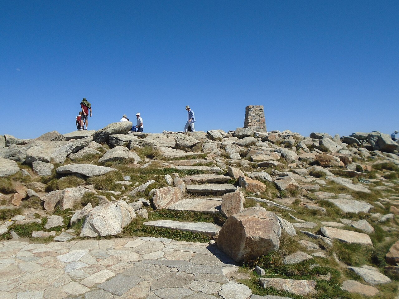
Several features mark the summit approach corridor. Charlotte Pass, the Snowy River crossing, Seamans Hut, and Rawson Pass each represent transitions in the terrain — from valley floor to exposed ridgeline — and together trace how the landscape opens and steepens as elevation increases. Rawson Pass, near the summit, marks the point where the alpine zone becomes fully dominant and the mountain's character as a genuinely arctic-feeling high point becomes apparent, even within a continent not usually associated with such conditions.
Mainland Australia's Highest Point
The summit elevation of 2,228 metres makes Mount Kosciuszko the highest point on the Australian mainland — a distinction that, as NSW National Parks notes, should be understood as applying to the mainland specifically, given the existence of external Australian territories with their own topographies. That qualification matters: the mountain's claim to primacy is real and significant within the continental landmass, but it sits within a broader geographic context that the designation of 'mainland' honestly reflects.
What gives Kosciuszko its identity is not the summit figure alone but the rarity of what surrounds it: an Australian alpine zone with glacial landforms, cold-adapted endemic flora, and a water-storing bog system that functions as the headwater engine for streams descending from the Snowy Mountains. In a continent where altitude and latitude rarely combine to produce such conditions, the mountain represents an ecological outlier as much as a geographic superlative.