
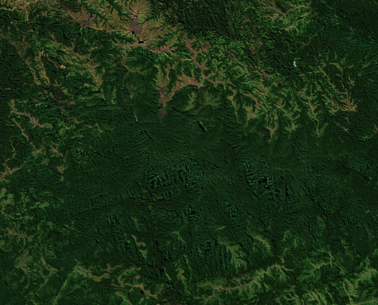
A ridge above Sabeto
Koroba rises to 1,069 metres above the Sabeto valley in western Viti Levu. H. S. Ladd’s 1934 survey labels it Koromba, or Pickering Peak, on the Naloto Range west of the Sigatoka valley. The satellite photograph shows the narrow forested ridges and valleys that separate the two sides of the highlands.
A specimen from the upper slopes
On 2–3 June 1947, botanist A. C. Smith collected material from a tree with white flowers on the upper slopes. The Paris natural history museum preserves the specimen as P06675328. The original label gives the name Dysoxylum lenticellare. Kew now lists the tree, which is native to Fiji, as Didymocheton lenticellaris.
The mountain on a map of 1876
Koroba also appears on a map tracing the opening of fighting in April 1876. Drawing on colonial correspondence, the historian maps the villages and the colonial garrison in the Nadi–Nadroga borderlands. The mountain marks the high ground around a group of villages where the first reported attacks took place.