
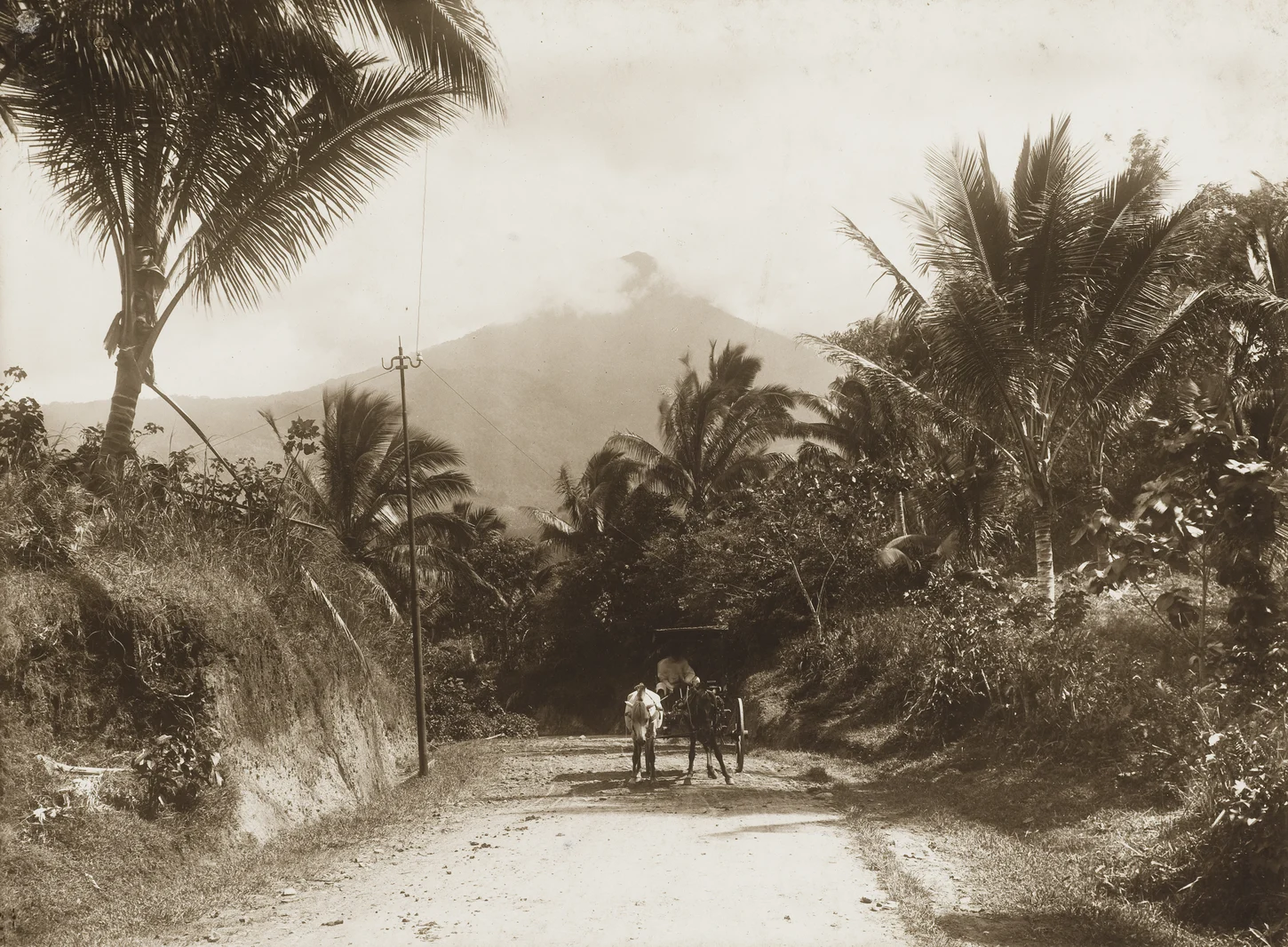
Crater Lake and Summit Geology
The GVP characterises Klabat as a symmetrical stratovolcano bearing a shallow crater lake within a summit depression elongated on a northwest-to-southeast axis. The volcano carries no verified historical eruption in the GVP record. Fumarolic ground documented at the crater indicates a persisting hydrothermal system beneath the summit.
The 17 August 1985 Directorate of Volcanology Expedition
On 17 August 1985, the fortieth anniversary of Indonesian independence, a Directorate of Volcanology team ascended to the summit, measured fumarole temperatures, collected crater-lake water samples, and raised an Indonesian flag at the crater rim. The ESDM summit survey yielding the 1,995 m elevation figure derives from this formal scientific ascent.
Airmadidi Setting and the Name Tamporok
Klabat rises above the Airmadidi lowlands with Manado Bay visible to the west, making it the dominant elevated landform across much of the surrounding coastal plain. The North Minahasa provincial profile maintained by the Audit Board of Indonesia records the alternative name Tamporok alongside Klabat, reflecting Minahasan nomenclature documented in provincial administrative sources.