
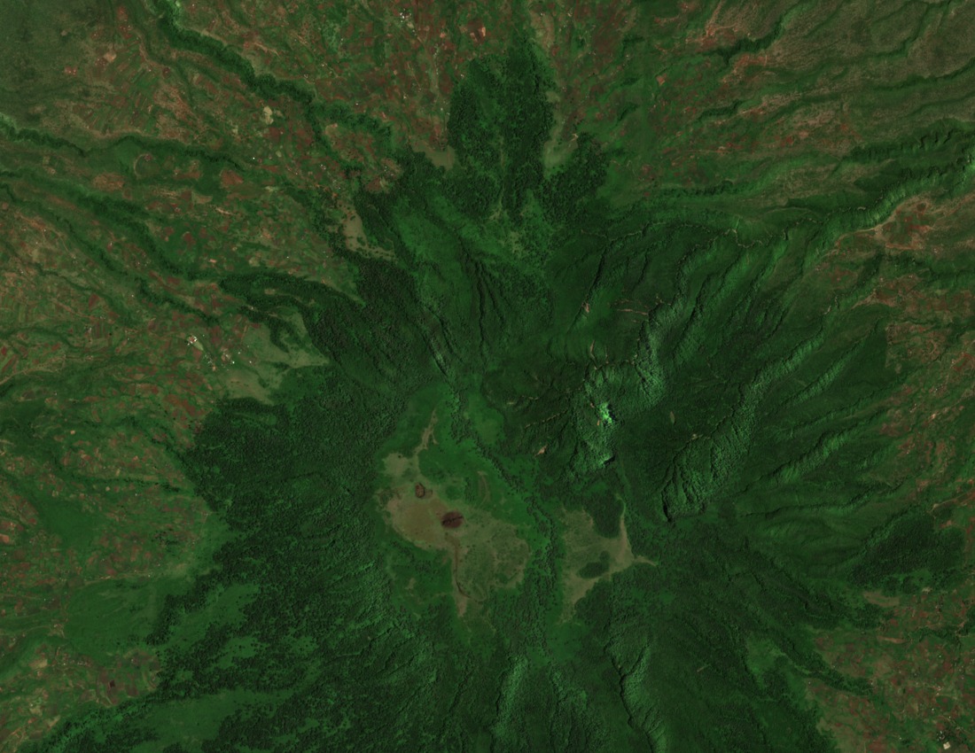
Volcanic Setting within the Gregory Rift
Roger Scoon's geological field synthesis of the Gregory Rift places Kitumbeine among the northern Tanzanian volcanoes produced during Neogene and Holocene rift activity. The massif's older extrusive character, as mapped on the Engaruka sheet, distinguishes it from the more recent cones nearby, reflecting the prolonged and episodic nature of magmatic activity along this segment of the East African Rift System.
Ketumbeine Forest Reserve and Highland Habitat
The Tanzanian government inventory records Ketumbeine Forest Reserve at 6,441 hectares across the mountain's upper slopes. This high-mountain forest block, documented in a Tanzanian Ministry of Education environmental survey of the Longido district, supports a mosaic of montane vegetation that sustains moisture-dependent fauna at elevations well above the surrounding savanna plains.
Type Locality of Strongylopus kitumbeine
A stream frog collected from Kitumbeine Forest was described in 2002 in the African Journal of Herpetology as Strongylopus kitumbeine, with the reserve serving as its type locality. The American Museum of Natural History's amphibian catalog records a 2022 taxonomic revision that placed Strongylopus kitumbeine in synonymy with Strongylopus merumontanus, the species name now applied to this population.