
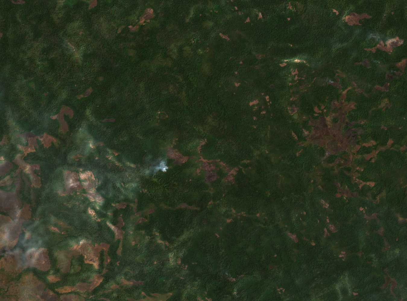
Position in the Imatong Massif
Kinyeti sits within the Imatong Mountains, a southern upland system that the UN Environment Programme's Africa Mountains Atlas places among the significant highland zones of the continent. The massif lies at a latitude of roughly 3.95°N and longitude 32.91°E, orienting it close to the South Sudan–Uganda frontier and within the broader Equatoria upland complex that also includes the Dongotona and Didinga ranges.
Imatong Central Forest Reserve and Key Biodiversity Area
The Imatong Central Forest Reserve, designated as a Key Biodiversity Area under KBA site 6819, encompasses forests at lower elevations on the massif, grading upward into montane grassland and open high-altitude vegetation. IUCN documentation from its uplands history and ecology study highlights the area's role as a regional hydrological source, with high rainfall feeding catchment systems that extend across the southern landscape.
Economic and Resource Context
South Sudan's 2014 Enhanced Integrated Framework economic diagnostic identifies Mount Kinyeti and the Imatong range among the country's notable natural features. The IUCN report on the southern massifs records a mix of plantation and natural forests within the broader upland system, underscoring the ecological range that characterises the Imatong zone as distinct from the lower Equatoria plains.