
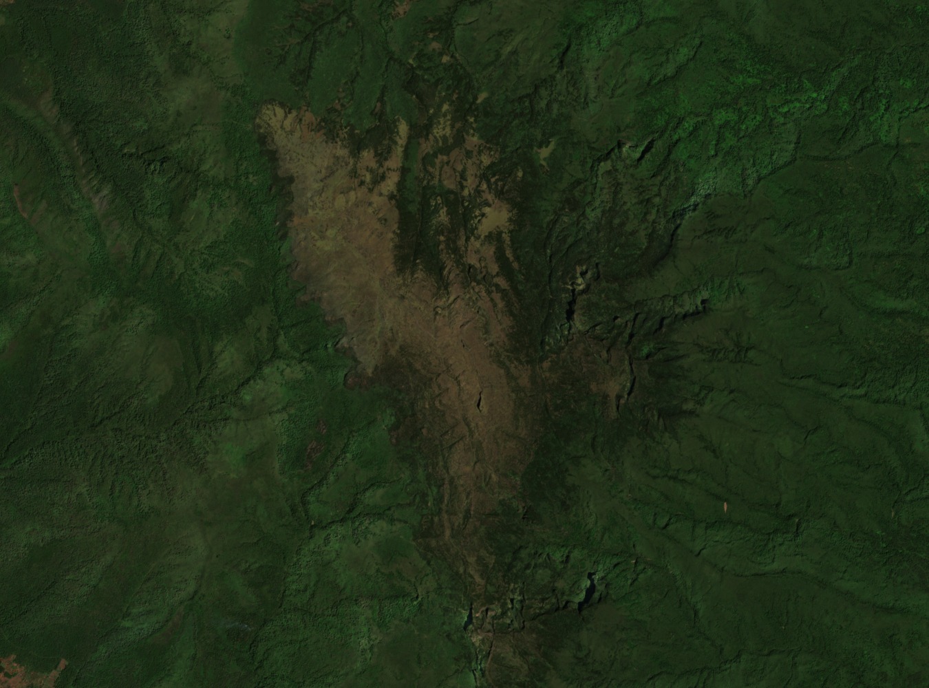
Summit and Range Position
Mount Kinangop forms the southern terminus of the Aberdare Range, with Mount Lesatima to the north across high intervening ground that does not fall below 3,000 m. Kenya's Aberdare management plan describes land dropping steeply south from Il Kinangop and confirms a steep western face toward the Kinangop Plateau. That plateau occupies lower ground and a separate landscape from the summit zone, sharing only a name with the peak above it.
Vegetation and High Moorland
The KBA factsheet documents the Aberdare Range as supporting dense forest on its wetter slopes, with the vegetation shifting to heath and moorland at higher elevations. This habitat sequence is recorded at range scale and applies to the upland zone in which Kinangop sits. The high moorland extends across the Aberdare summits and surrounding terrain.
Drainage and Lake Ol Bolossat
The KBA factsheet records the Aberdare Range as a major catchment for the Tana River and other Kenyan rivers. The Kenya ministry's 2023 Ramsar management plan for Lake Ol Bolossat describes the Kinangop–Ol Kalou plateau as part of the lake's regional landscape. That plateau sits at lower elevation than the summit. The plan establishes a geographic relationship between this upland region and the lake's catchment but does not assert a direct hydrological connection from Kinangop's summit to the lake.