
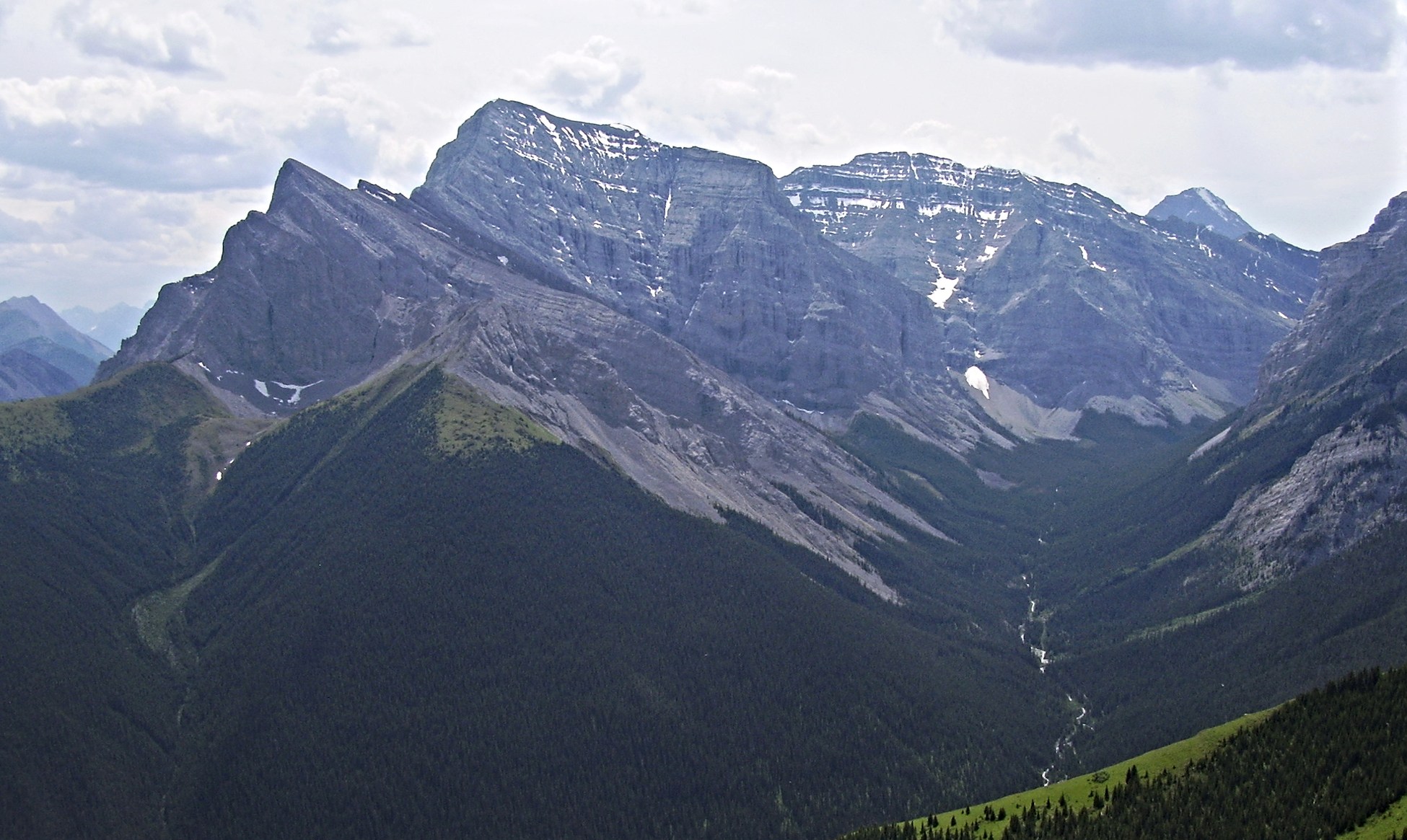
Naming and the Survey Connection
In 1907, D. B. Dowling, an engineer with the Geological Survey of Canada, named the mountain during his geological work in the region. He chose the name for Fred Kidd, a Morley resident who had outfitted the exploratory expeditions that penetrated the Kananaskis Valley before and during the survey era. Kidd's role was logistical — supplying and organising parties into terrain then largely unmapped by scientific teams — making his name a record of that provisioning tradition rather than a climbing achievement.
Position and Landform
The mountain occupies a topographic hinge between two drainage systems at 50.8936°N, 115.190°W. Ribbon Creek descends to the west, while the Kananaskis River defines the broader corridor to the east. Its position as the east buttress of Guinn's Pass gives it structural prominence in the ridge sequence separating those valley systems, within the Bow watershed.
First Recorded Ascent
The earliest documented ascent of Mount Kidd is attributed to R. C. Hind and J. F. Tarrant in 1947, four decades after Dowling assigned the peak its name.