
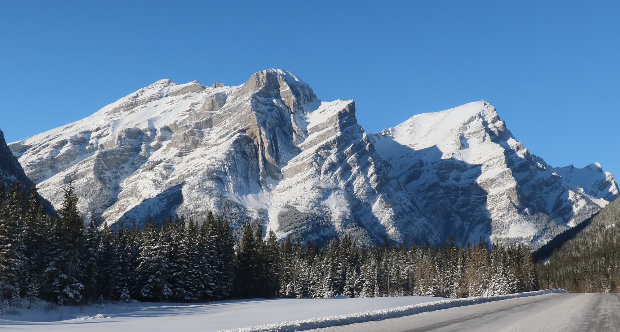
A Ridge Shaped by Deep Compression
Limestone, shale, and dolostone deposited during the Mississippian Period between 359 and 323 million years ago form the south wall. Regional compression during the building of the Canadian Cordillera later folded these strata, bending them into the concave-up bowl visible from the valley floor and Highway 40. The Geological Survey of Canada has mapped large folds and minor thrust faults at the northern termination of the Lewis Thrust in this part of the Spray Lakes region. A 2025 Geosphere study by Welch and Shaw interprets Mount Kidd South as a fault-propagation fold, in which movement along a subsurface fault carried slip forward into the overlying layers, bending them ahead of the advancing fault tip.
The Fold
The 1996 Canadian Alpine Journal carries an account by Masten Brolsma documenting a climb of the route known as The Fold on the south peak. Brolsma describes an S-shaped rock buttress beside Kidd Falls, with compact limestone alternating with crumbly sections across roughly fifteen pitches. A guidebook he consulted records the earliest known ascent of that route by two local guides in the 1980s.
Valley-Floor Science, Three Decades Later
A Remote Sensing study published in 2023 by Donati, Stead, Onsel, Mysiorek, and Chang used terrestrial laser scanning and photography from a viewpoint near Marmot Creek and Highway 40 to examine the southern wall. The ground-based lasers and imagery help map the orientation and distribution of discontinuities in the folded rock, and the study produced three-dimensional models of the face geometry.