
Boundary Landmark and Summit Geography
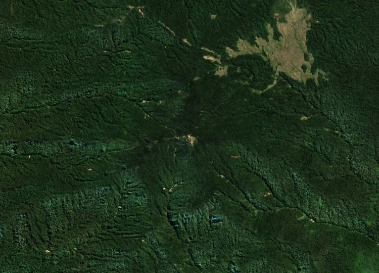
The Organic Law on Provincial Boundaries describes a line following the Bismarck Range watershed to the 145°10′E meridian and then running southwest to the summit of Mount Kerigomna, which it names as a defined inter-provincial boundary point. The law places the boundary north of the subsequent coordinate at 6°05′S, 145°08′E. The upper terrain of the mountain carries forested ridgelines visible in orbital imagery centered on the summit.
The 1956 Botanical Survey
R. D. Hoogland and R. Pullen conducted botanical fieldwork on Mount Kerigomna in 1956, documented in Hoogland's publication through the Nationaal Herbarium Nederland. Their survey found peaty montane grassland between approximately 2850 and 3150 metres. They also observed traces of recurrent fire reaching into forest at the grassland margins. Those observations reflect vegetation conditions at the time of their visit. Hoogland's report gave an overall height estimate of approximately 3300 metres for the mountain, predating the elevation recorded in the later ORNL study.
The 1970–71 Marafunga Forest Research
Between November 1970 and December 1971, researchers operated the Marafunga forest study site in a separate basin east of Mount Kerigomna, documented through the NASA ORNL DAAC Net Primary Productivity project. The plots were situated at approximately 2500 metres in lower montane rainforest and measured leaf area index, litterfall, and decomposition rates across four positions: a forest ridge, a canopy gap, a valley floor, and a slope. The ORNL study uses Mount Kerigomna at 3670 metres as the geographic reference for the location of that research area.