
Volcanic Structure and Glacial Terrain
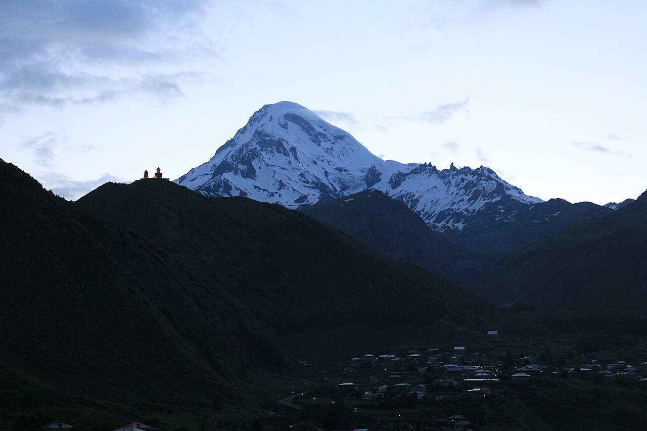
The Smithsonian describes Kazbek as an ice-covered stratovolcano, its flanks channeled by long lava flows that extend down valley corridors. The upper summit cone is considered geologically young and postglacial in character, and a lava flow on the mountain has been radiocarbon-dated to approximately 6,000 years ago. The combination of volcanic structure and persistent glaciation gives Kazbek its characteristic silhouette: broad lower flanks rising toward a heavily ice-mantled cone.
The Gergeti Glacier extends from the lower Georgian approach side of the mountain, and the medieval Gergeti Trinity Church occupies a prominent rocky spur in the same landscape. Both features are geographically associated with the ascent corridor below the summit, and together they form the visual approach sequence that has defined how generations of visitors first encountered Kazbek from the valley.
The 1868 Freshfield Expedition
Among the earliest documented mountaineering records for Kazbek is the 1868 expedition that included Douglas Freshfield, who published a first-person account of the ascent in the proceedings of the Royal Geographical Society. That account situates Kazbek within a broader survey of the Caucasus range, appearing alongside material on Elbrus, and stands as one of the foundational documents of Caucasian mountaineering literature.
Geography and Names
The mountain carries two names in current use, Kazbek and Mkinvartsveri, both of which appear in current sources without either being treated as an alternate designation. Its position near the border with Russia places it along the Georgian Military Highway connecting Tbilisi to Vladikavkaz, and its visibility from that road, with the church on the spur below and the glacier above, has made it one of the most recognized silhouettes in the South Caucasus.