
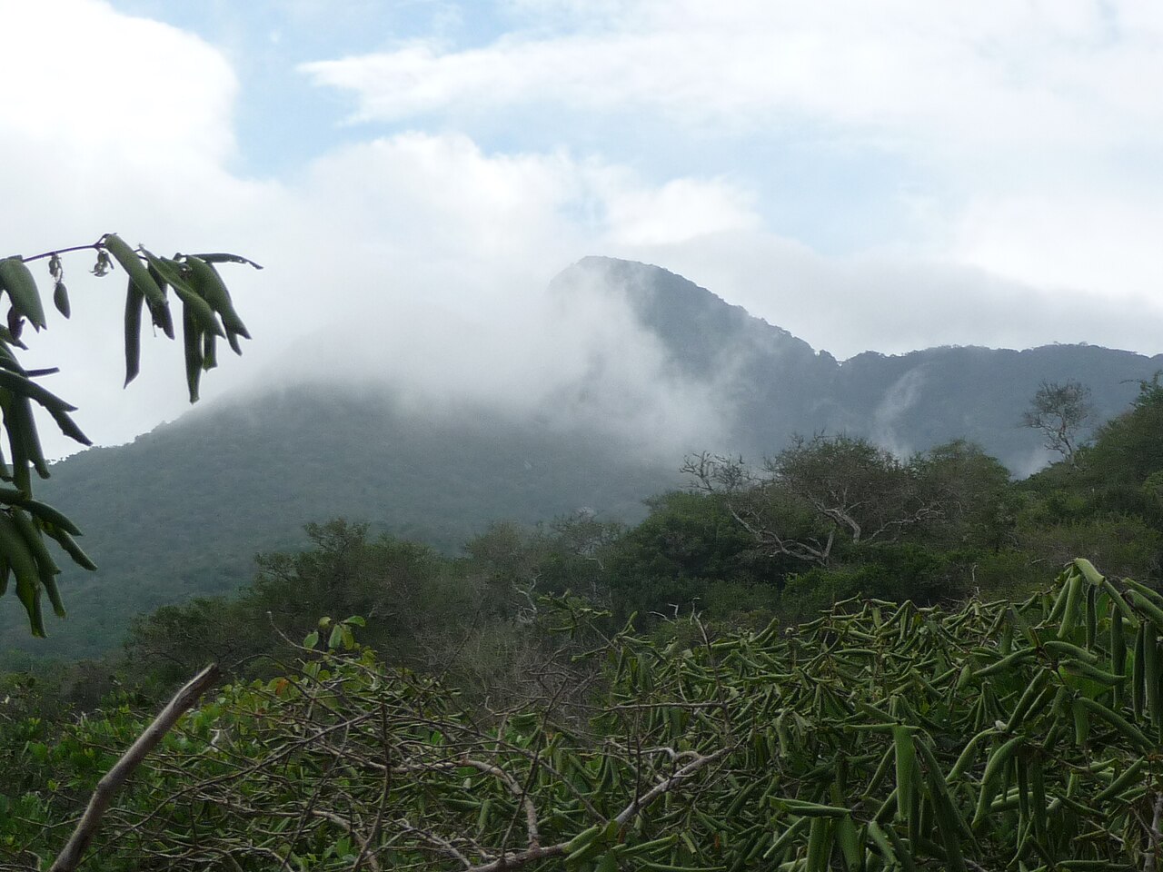
Vegetation Zones from Bushland to Cloud Forest
Africa Nazarene University researchers studying bird diversity along Kasigau's elevation gradient defined four sampling bands: bushland at 850–1,104 m, woodland at 1,105–1,327 m, evergreen forest at 1,328–1,546 m, and cloud forest at 1,547–1,640 m. These bands reflect how moisture and canopy structure shift with altitude across the mountain's slopes.
Microclimate Measurements Across Local Topography
In 2011–2012, researchers deploying 19 data loggers recorded temperature and moisture at positions distributed across Kasigau's varied relief and slope aspects. The study, published in the African Journal of Ecology, used these topographic variables to interpret how local landform influences forest distribution at fine spatial scales.
Kenya Forest Service Classification and Regional Context
Kenya Forest Service records classify Kasigau within Kenya's documented forest ecosystems. The University of Helsinki Taita Research Station situates the mountain within the broader geography of the Taita region, where isolated inselbergs support forest patches distinct from surrounding lowland vegetation.