
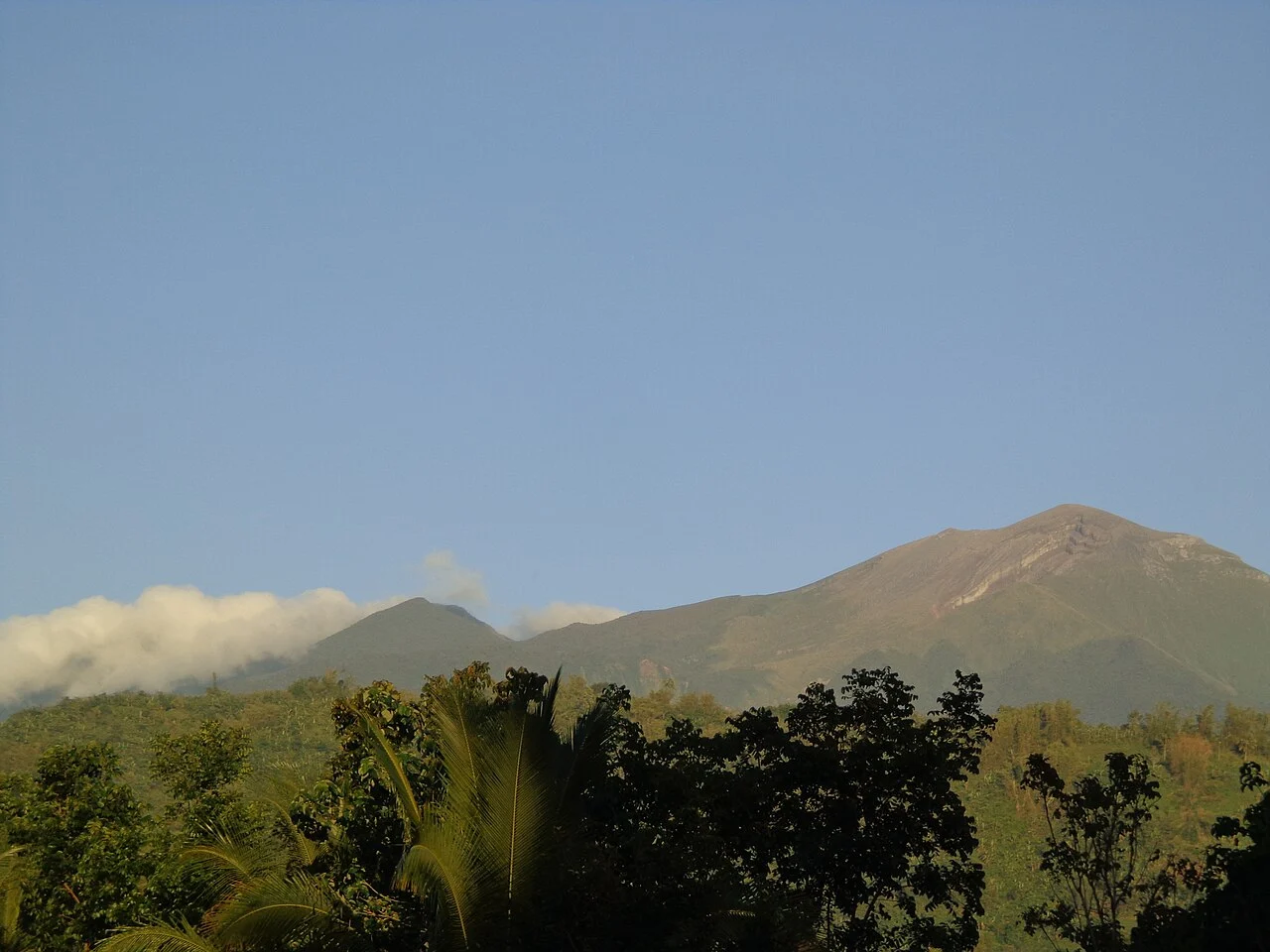
Summit Architecture and Volcanic Character
Kanlaon is classified as an andesitic volcano, and its upper reaches bear the hallmarks of a long eruptive history: multiple flank cones and subsidiary craters distributed across its flanks, though not all vents are considered active. The northern caldera, broad and elongated, contrasts with the tighter geometry of the southern vent that sits at a higher elevation and accounts for the volcano's continuing unrest. This two-part summit configuration gives the mountain a more complex topographic profile than its single published elevation figure suggests.
The 2,422 m figure assigned by the Smithsonian Global Volcanism Program applies to Kanlaon, the highest mountain on Negros. The northern caldera contains a crater lake, while the southern Lugud crater is the active cone, and this distinction between the two areas remains the defining landform feature of Kanlaon's structure.
The 3 June 2024 Eruption
At 18:51 local time on 3 June 2024, the Philippine Institute of Volcanology and Seismology (PHIVOLCS) recorded an explosive eruption at the summit. Seismic instruments logged activity lasting approximately six minutes, while separate thermal camera observations detected pyroclastic or hot material currents moving down the southern slopes to distances of two to three kilometres from the vent. The eruption column rose to approximately five kilometres above the crater.
The event illustrates how multiple instrument types — seismic networks and thermal imaging — together build a fuller picture of summit eruptions than any single sensor can provide. The measured plume height, the documented current distances, and the short seismic duration are all PHIVOLCS-sourced figures from the specific event record; they describe that eruption, not a general baseline for the volcano's behaviour.
Protected Status and Indigenous Peoples
Philippine Republic Act 9154, signed on 11 August 2001, formally established Mount Kanla-on Natural Park and placed the volcano and its surrounding landscape under a participatory conservation framework. The legislation explicitly names the Ati and Bukidnon as Indigenous peoples with a statutory presence within the park's boundaries. Their recognition in the law reflects the broader human geography of Negros's interior highlands, where Kanlaon is not simply a geological feature but a landscape with longstanding human communities.
The Act's emphasis on participatory conservation signals that the park's management framework was designed to involve local and Indigenous stakeholders rather than exclude them. Beyond this statutory context, the law does not specify the particular practices or customs of the Ati or Bukidnon communities, and the specifics of those cultures lie outside the scope of the legislation itself.