
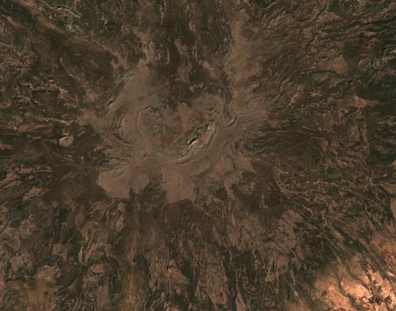
Summit Elevation and Place Names
Mount Kaka appears in sources under several names, including Kakaa in Oromia Planning Commission records and K'ech'a Terara, Kecha, and Cacca in geographical literature. The Oromia Planning Commission gives an elevation of 3,820 m, and CIFOR-ICRAF independently publishes 4,193 m. A field study documents the terrain from approximately 3,146 m to 4,217 m, placing the high point at around 4,200 m.
Vegetation Belts and Highland Beetles
A field study identified three vegetation zones on Mount Kaka, with Afroalpine cover at the highest elevations, a mid-elevation belt of heath-forming Erica, and Afromontane woodland lower down. In November 2017, a sampling team collected ground beetles above the town of Meraro at 3,300–3,420 m on the eastern slope. A 2020 publication reports Siopelus aethiopicus at that site, a species the paper confirmed has reduced hindwings and cannot fly.
Ethiopian Wolves and the Arsi Range
The IUCN's 1997 action plan for the Ethiopian wolf records a visit to Mount Kaka in 1990 and cites earlier reports of wolves in the Arsi Mountains. That plan also documents the historical use of satellite imagery in mapping wolf habitat across the Ethiopian highlands. These observations pertain to the wider Arsi range and date to surveys conducted before the plan's publication.