
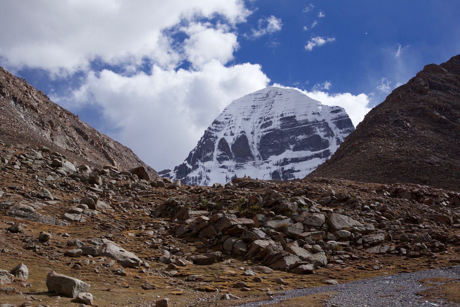
Geographic Coordinates within the Gangdisê Range
Official tourism materials from Purang County explicitly record that Mount Kailash belongs to the Gangdisê Range, and the place name Sexiong at the mountain's foot is marked by its characteristic prayer-flag plaza as a landmark. Geographic materials from the Ngari Prefecture People's Government describe Mount Kailash alongside Lake Manasarovar, Rakshastal, and Gurla Mandhata (Naimonanyi Peak) as the four core elements of the sacred mountain and holy lake system within Purang County, geographically interrelated yet each independently significant.
Regarding the mountain's elevation, figures from different sources vary—including 6,656 metres cited in some materials—and the records are not consistent; a definitive elevation is therefore not cited here. The geographical significance of Mount Kailash does not rest on a precise elevation figure; it is expressed more fully in its dual role as a regional geographic reference point and a religious ritual space.
Shared Sacred Site of Four Religions
Tibetan Buddhism, Bön, Hinduism, and Jainism all venerate Mount Kailash as a sacred mountain, a cross-religious sanctity that is exceedingly rare in Himalayan mountain culture. Each religious tradition understands this mountain differently, yet together they constitute a pilgrimage practice that has continued around this peak for centuries. It is worth noting that, according to available sources, certain claims about the relationship between the origins of major rivers and the summit are not stated consistently across source documents, and the Ngari Prefecture People's Government materials make clear distinctions between Lake Manasarovar, Rakshastal, and Gurla Mandhata.
Circumambulation: Ritual Geography Rather Than Summiting
The central human activity surrounding Mount Kailash is circumambulation—the ritual act of walking a complete circuit around the outer perimeter of the mountain. This is a practice of ritual geography: its route, direction, and religious meaning vary according to different faith traditions, and it is fundamentally different in nature from mountaineering, which aims at reaching a summit. The circumambulation route passes through place-name nodes at the mountain's foot such as Sexiong, transforming geographic space into a ritual field with religious order, making Mount Kailash a mountain experienced through encirclement rather than ascent.