
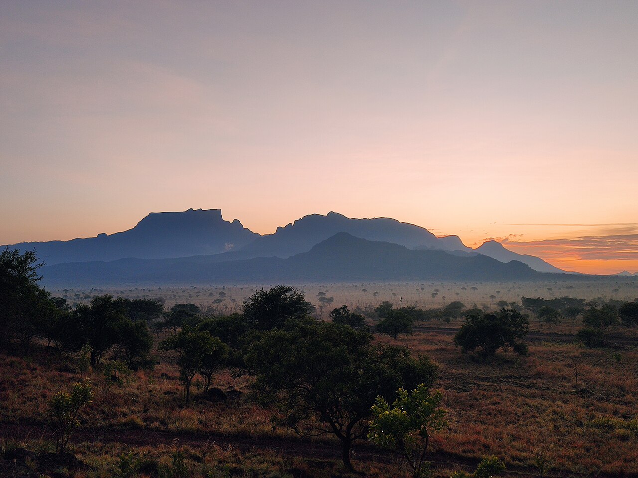
Volcanic Geology and the Awoja Catchment
The mountain's geology is characterised by alkali volcanic formations whose drainage feeds into the Awoja catchment, as documented by Uganda's Ministry of Water and Environment. Steep slopes give way to the broader plains below, and the catchment management plan addresses the Kadam area within this system.
Kadam Central Forest Reserve and the 2025 Corridor Survey
In March 2025, a Kara-Tunga Foundation field team surveyed a 4.54 km² corridor between Kadam Central Forest Reserve and Pian Upe Wildlife Reserve over thirteen days. The team recorded mammals, birds, butterflies, and plants within that defined area, producing a baseline of observed taxa groups for the buffer zone between the two separate reserve boundaries.
Potamonautes amalerensis and Historical Specimen Records
The freshwater crab Potamonautes amalerensis, first described in 1935, was reassessed in 2016 from specimen material in the European Journal of Taxonomy. That paper documents the species from two documented collection localities associated with Kadam, placing it among the invertebrate fauna linked to the massif through collected records.