
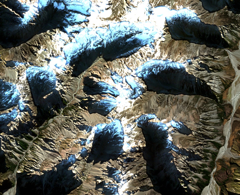
Between the Lawrence and Sinclair
South of Mount Johnstone, the ridgeline encloses a basin where the Canterbury Mountaineering Club guide records a glacier. Scree collects below the rocky shoulders. Hard greywacke and argillite are characteristic rocks of the wider Armoury district, which includes the Jollie Range.
The valleys below the ridge open out into the braided rivers of the upper Rangitata. The Sinclair joins the Clyde, which flows into the Rangitata alongside the Lawrence and Havelock rivers.
A name from Erewhon Station
Alwyn Chin put forward the name in 1963. The Canterbury Chief Surveyor resubmitted it in 1969 after consulting local mountaineering records. A. A. Urquhart of Erewhon Station recalled that the name honoured an earlier owner, T. S. Johnstone, who helped travellers passing through. The New Zealand Gazette made the name official in 1971.
Nearby Musterers Col preserves another connection to the pastoral runs. The gazetteer records that Phil Green and Frank Bushell found the pass while gathering livestock.
The two tops on the south ridge
The Alpine Club guide describes two approaches from the Lawrence and Sinclair valleys to the south ridge. The ridge leads over a lower top at 2,238 metres before continuing to Mount Johnstone’s 2,320-metre summit.