
The 1820 Naming and Franklin Leavitt's Map
The Appalachian Mountain Club records that Mount Jefferson was named in 1820 for Thomas Jefferson, the third US president, as part of the same campaign guided by Ethan Crawford. The presidential names spread through use among travelers before appearing in print; Franklin Leavitt's 1852 map is one documented instance of their cartographic record.
The Great Gulf and the Ravine of the Castles
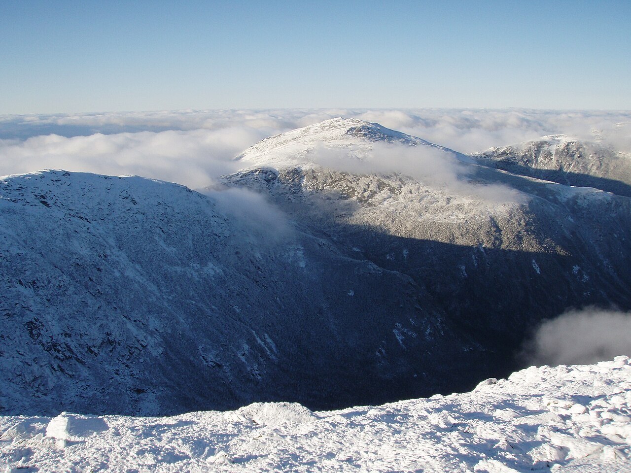
Geological mapping published in the American Journal of Science places Mount Jefferson between two glacially formed hollows: the Great Gulf on the east and the Ravine of the Castles on the west. Both reflect the action of ice on the high terrain, though the published record does not establish that they share an identical formation chronology.
Position Within the Presidential Range
At about 1,740 meters, Mount Jefferson sits below both Mount Washington and Mount Adams in the elevational sequence of the Presidential Range. Its location between the Adams massif to the northeast and the ridge continuing toward Washington to the south makes it a structural link connecting the range's highest summits in the north.