
Volcanic Origins
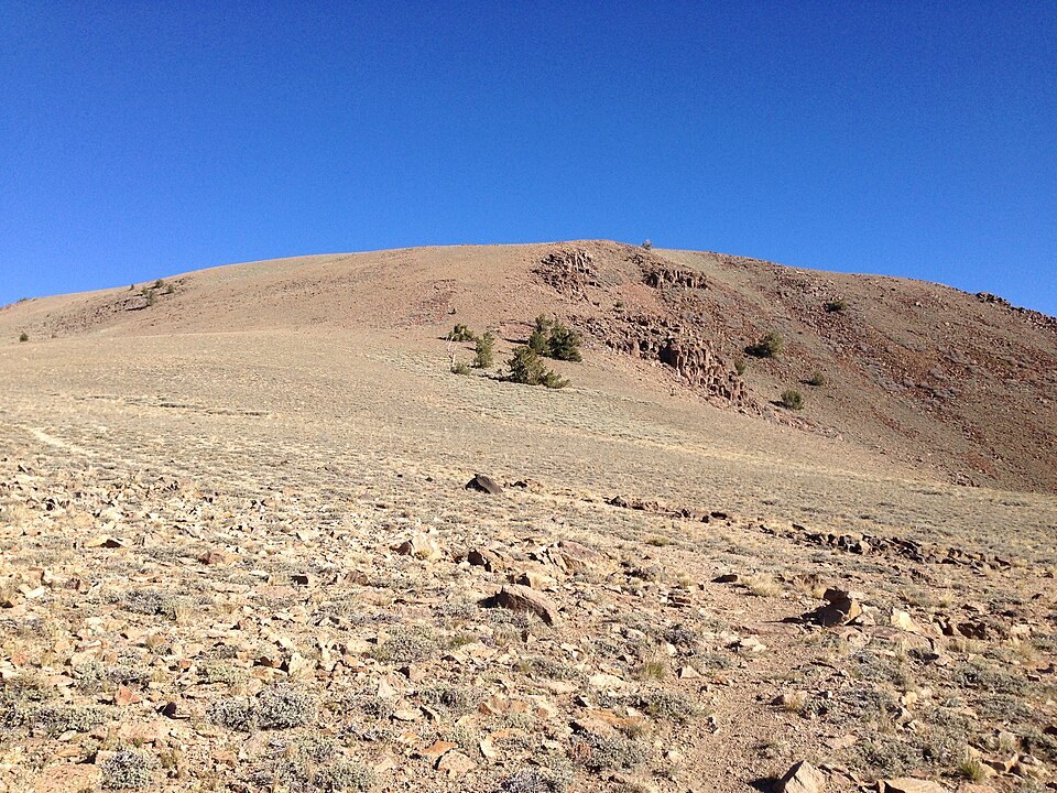
USGS geochronology dates the tuff of Mount Jefferson to roughly 26.8 million years ago, placing its formation within a period of regional volcanic activity that included the collapse of the Mount Jefferson caldera. The present ridge is a remnant of that ancient geology rather than a preserved volcanic cone; the original landform has been substantially altered over geologic time.
Indigenous High-Altitude Use
Archaeologists have documented evidence of Indigenous high-altitude habitation on the Mount Jefferson tablelands, work summarized in the Smithsonian catalog. The Alta Toquima site was first recorded in 1978, and researchers have linked alpine residency on these tablelands to shifting resource strategies over time.
Alta Toquima Wilderness
Congress designated the surrounding landscape as Alta Toquima Wilderness in 1989. The U.S. Forest Service identifies a research natural area on the mountain that includes small spring-fed meadows, which are among the notable ecological features of this high Great Basin terrain.