
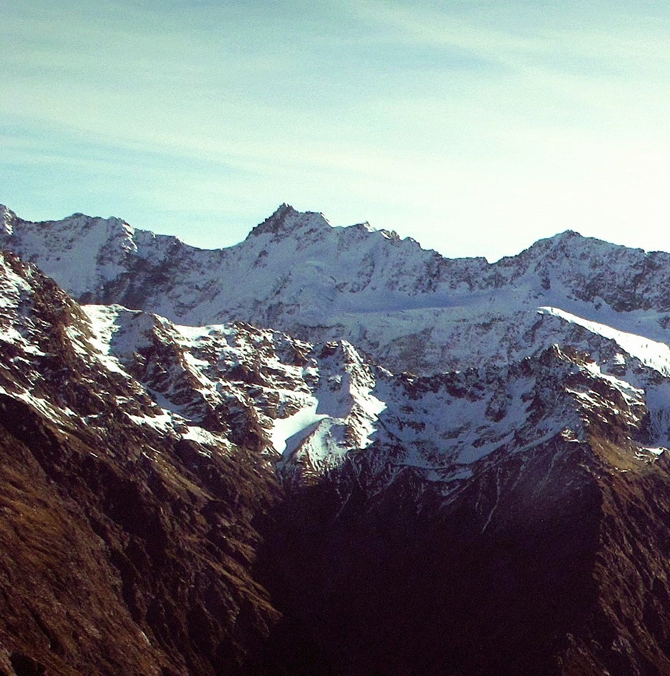
A Family Named on the Divide
The New Zealand Geographic Board records that the summit was named for Isabella Mueller, the first child of surveyor Gerhard Mueller. She was born at Ōkārito in 1867. Nearby Mount Bannie takes its name from Elizabeth Bannatyne Mueller, Gerhard’s wife, who was known as Bannie.
Rona Adshead’s Dictionary of New Zealand Biography entry traces Gerhard Mueller’s early survey work in Westland. The Canterbury Survey Department employed him to mark the boundaries of Māori reserves in South Westland.
First Recorded Ascent, 7 March 1914
Samuel Turner's 1922 memoir The Conquest of the New Zealand Alps, pages 86 to 88, provides a firsthand account of the first recorded ascent on 7 March 1914. Turner and his companion Peter Graham travelled from the Hermitage through the Mueller Valley, climbed via Mount Eric, and traversed the Main Divide to reach the summit. Turner described six rock pillars and loose rock along the ridge.
The Department of Tourist and Health Resorts also recorded the ascent in its 1914 annual report. Turner’s account includes two views from the summit, one looking towards Mount Sefton and Aoraki and another showing Vampire and Mount Burns.
Glacier Surface and Aerial Evidence
A 2008 GNS Science study by Simon Cox and co-authors, examining rock avalanches on the Mueller Glacier, found earlier photographs of debris from Mount Isabel on the glacier. A Royal New Zealand Air Force oblique aerial photograph designated C55, dated 1955 and cited in the study's table, already showed Mount Isabel's avalanche deposits disrupted by crevasses and ice movement. The study's reconstruction places the original avalanche in the early 1950s.
A second aerial frame, 3724/41, taken by New Zealand Aerial Mapping in 1965, shows that another rockfall had occurred on Mount Isabel by that year. As the glacier moves, it can carry and deform material that has fallen onto its surface.