
Glacial Landform and Geology
Mount Iron and Little Mount Iron form a pair of glacially shaped knobs. Ice abraded the rock on the side it approached and pulled blocks from the downstream face. The resulting shape is called a roche moutonnée. At the foot of the hills, meltwater left channels and deposits on the plain near the Cardrona River.
Pastoral Settlement and Early Photography
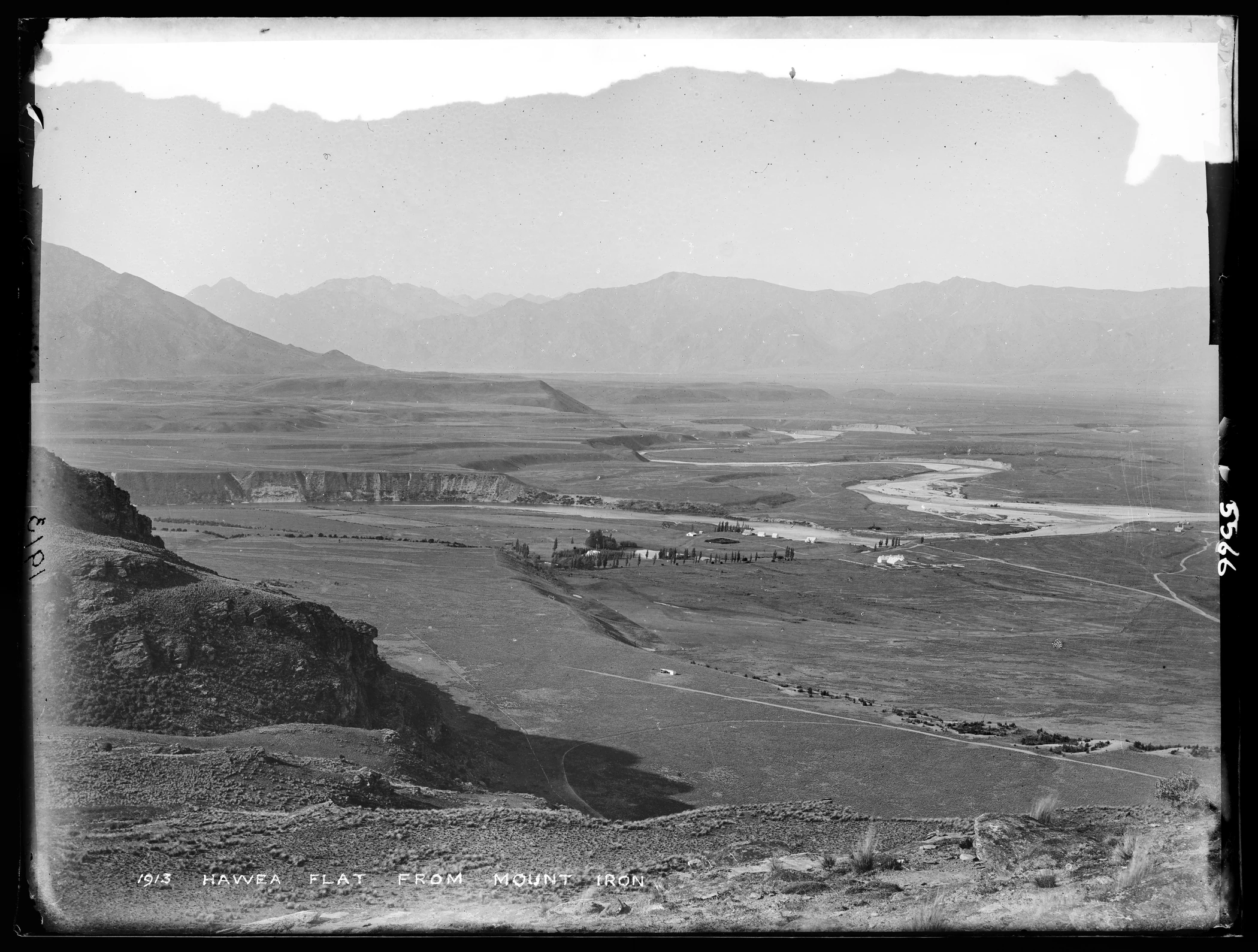
Robert Wilkin and Archibald Thomson took up the Wānaka runs in 1858. Farm workers built a homestead near Mount Iron and completed the station’s woolshed in 1861. In the Burton Brothers photograph from 1883, the Clutha and Hāwea rivers join beyond Albert Town. The museum’s glass negative also preserves the rocky ground on Mount Iron in the foreground and Hāwea Flat in the distance.
Part of Mount Iron became a scenic reserve in 1905. A track to the summit was completed the following year.
Reserve Expansion and Ecological Character
In May 2023 the Queenstown Lakes District Council purchased nearly 100 hectares around Mount Iron and Little Mount Iron. It adopted a reserve plan in April 2025 and took over management of the adjoining public conservation land in January 2026.
The plan identifies kānuka scrub as habitat and records the Kawarau gecko among the local animals. It also calls for Kāi Tahu participation in decisions about the reserve.