
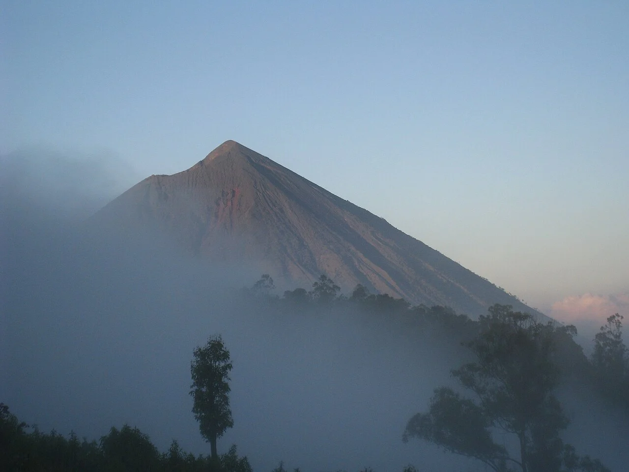
Geological Record and Volcanic Form
The Smithsonian Global Volcanism Program records a radiocarbon-dated eruptive episode at approximately 8050 BCE, the most securely dated event in Inerie's volcanic history. A separate GVP observation documents steam at the mountain in 1911. A neighbouring cone, Wolo Bobo, is identified in GVP data as a younger feature within the same volcanic complex.
Name and Surrounding Villages
Ngada Regency sources attribute the name Inerie to the local words Ine, meaning mother, and Rie, meaning beautiful. The mountain's flanks shelter traditional Ngada villages documented in regency sources, among them Bena and Gurusina, settlements whose ritual architecture and social organisation centre on Inerie as a defining feature of the inhabited landscape.
Geotourism and Field Research
Ngada Regency sources document a field research visit by the Magmagama team from Universitas Gadjah Mada, who met with district officials to discuss findings on disaster risk and Inerie's potential as a geotourism destination, reflecting systematic work to integrate volcanic knowledge with regional planning.