
Position and Terrain
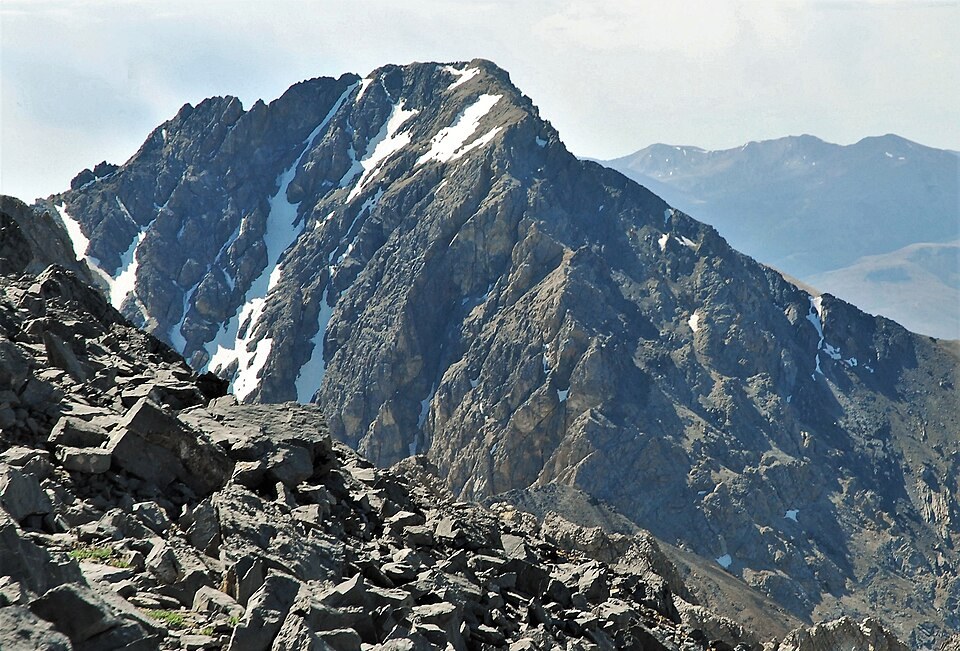
The Idaho Geological Survey's Elkhorn Creek quadrangle maps the mountain's immediate landscape. Merriam Lake lies at the eastern base, and the western ridge falls toward tributaries of the Big Lost River.
Winter Traverse Account
A firsthand winter account describes a traverse using the existing North Couloir to gain the summit, then descending the southeast face toward Leatherman. The participants believed their ski line on that face was novel, though whether it constitutes a first descent has not been independently established.
Name and Identity
Mount Idaho is the locally used name for this Lost River Range summit, distinct from the historical settlement of the same name in western Idaho, which appears separately in federal place-name databases.