
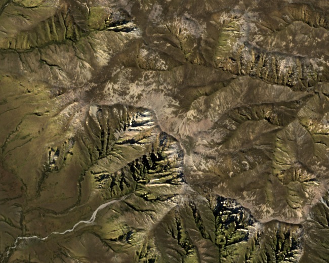
Summit and Structure
The LINZ Gazetteer records the summit at 1,690 m; the Otago Regional Council gives 1,691 m. A 1933 government field report measured 5,548 ft and identified the southern side of the Ida Range as the fault-scarp edge of an uplifted block, the visible step in the terrain where the range rises sharply above the surrounding basin.
Historic Water Supply
The Mount Ida Water Race opened in 1877 to supply the Naseby gold diggings. A proclamation in that year's New Zealand Gazette designated water-race land in the goldfield, and the government scheme conveyed water from the Manuherikia River across the Maniototo to the workings at Hogburn.
Conservation Landscape
The Department of Conservation places Ida Mountain within the Oteake conservation landscape. The government formally opened Oteake Conservation Park in 2010, bringing parts of the Ida and Hawkdun ranges into the park alongside the St Bathans, Ewe and St Mary ranges.