
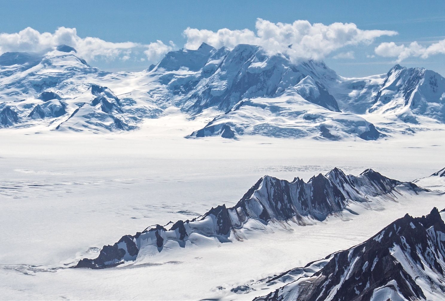
The Name on the Map
The US Geological Survey attributes the name to English climber Harold Ward Topham, who named the peak for biologist Thomas Henry Huxley. The U.S. Board on Geographic Names adopted the form Mount Huxley in 1968.
Climbing Record
A park ranger recorded an unsuccessful 1995 attempt by Bill Pilling and Walt Gove. On 9 June 1996, Paul Claus made the first well-documented ascent. He landed a small aircraft at about 3,505 metres (11,500 feet) on the west flank and climbed the rest alone.
On 3 June 2018, Scott Peters, Andrew Peter and Ben Iwrey reached the summit after climbing from the Columbus Glacier side. Iwrey’s account describes the snow overhanging the narrow summit. The team spent the night at a saddle on the descent.
Downstream at Taan Fiord
On the south side of the range, Tyndall Glacier descends toward Taan Fiord in Icy Bay. Retreating ice had exposed steep, fractured slopes near the glacier’s lower end. On 17 October 2015 rock fell from one of those slopes into the fjord and generated a tsunami. Surveyors found that the water had run up the opposite slope to 193 metres above sea level.