
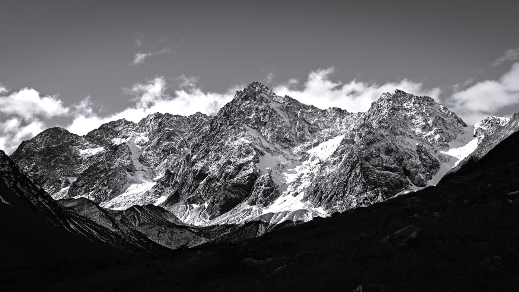
Traces of retreating glaciers
Below the peak, the upper Ahuriri River braids across the valley floor, with wetlands occupying former channels and terraces rising above them. A study published in 2023 dated moraines in an upper Ahuriri tributary to about 14,500, 13,600 and 12,600 years ago. The deposits mark successive positions of the valley glacier as it retreated.
Survey records and early climbs
Julius von Haast named the mountain for the British biologist Thomas Henry Huxley. The official New Zealand yearbook of 1931 listed the peak at 8,229 feet, about 2,508 metres. The figure is close to the modern 2,505-metre measurement.
In October 1939, Scott Gilkison, Roland Rodda, Harry Stevenson, Rod Williams, and Max Willis completed a climb of the northeast face, as recorded by the New Zealand Alpine Club. The party carried long skis through beech forest and used them high on the snow slopes above the treeline.
New routes on the south face
The New Zealand Alpine Club describes the south face as about 800 metres high. Climbers opened the first routes on the wall from 1990 to 1993, including The Vein, where the first party climbed both steep ice and exposed rock.
The upper valley’s protection took shape when the Crown bought the Birchwood pastoral lease with help from the Nature Heritage Fund. Its account of the purchase singles out the braided river, wetland terraces and circle of glaciated peaks around the valley.