
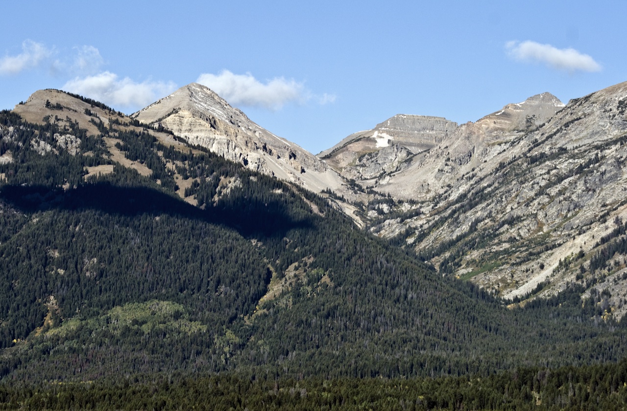
Summit and Neighboring Landform
The USGS GNIS indexes the Mount Hunt summit at coordinates placing it west of the separately named Mount Hunt Divide, a saddle or ridge feature that appears on the USGS topographic map as a distinct landform with its own designation. The two features are not the same point. A current summit inventory using LiDAR data gives the peak's elevation as 10,787 ft, equivalent to approximately 3,288 m.
The 1929 Ascent and an Unknown Prior Party
Fritiof Melvin Fryxell recorded ascending Mount Hunt on August 24, 1929, during the national park's inaugural season. His account, published in the 1931 American Alpine Journal, describes an approach from the east and reports finding a cairn already in place on the summit with no record inside it. Because Fryxell's own contemporaneous account documents the cairn and the absence of any register, it establishes that at least one earlier party had reached the summit before him, though that party remains unidentified.
The 1932 Grand Teton National Park brochure published by the Department of the Interior lists recorded ascents of Mount Hunt, noting the unidentified earlier climb alongside Fryxell's dated ascent. This official record, produced within three years of his climb, corroborates the account and precludes treating his 1929 ascent as a first ascent in any strict sense.
The Open Canyon Traverse
A report published in the 1961 American Alpine Journal describes a five-summit traverse of Open Canyon that concluded on Mount Hunt. The climbers named in the account are Dave Dornan, Mark Melton, Mona Monahan, and Leigh Ortenburger. The traverse crossed Mount Hunt from west to east as its final leg on July 12, linking it to the broader sequence of peaks forming the canyon's upper rim. The 1961 date is that of the publication; the journal does not assign the climb itself to that year.