
Ancient Lavas at the Summit
The bedrock near the summit belongs to the Clover Creek Greenstone, porphyritic lavas the Oregon state geology guide identifies as among the Wallowa range's older volcanic materials. Outcrops display flower-like plagioclase crystal groupings within a finer groundmass. This greenstone is distinct from the younger Columbia River Basalt flows visible to the north and west.
Glacial Setting and the Wallowa Lake Tramway
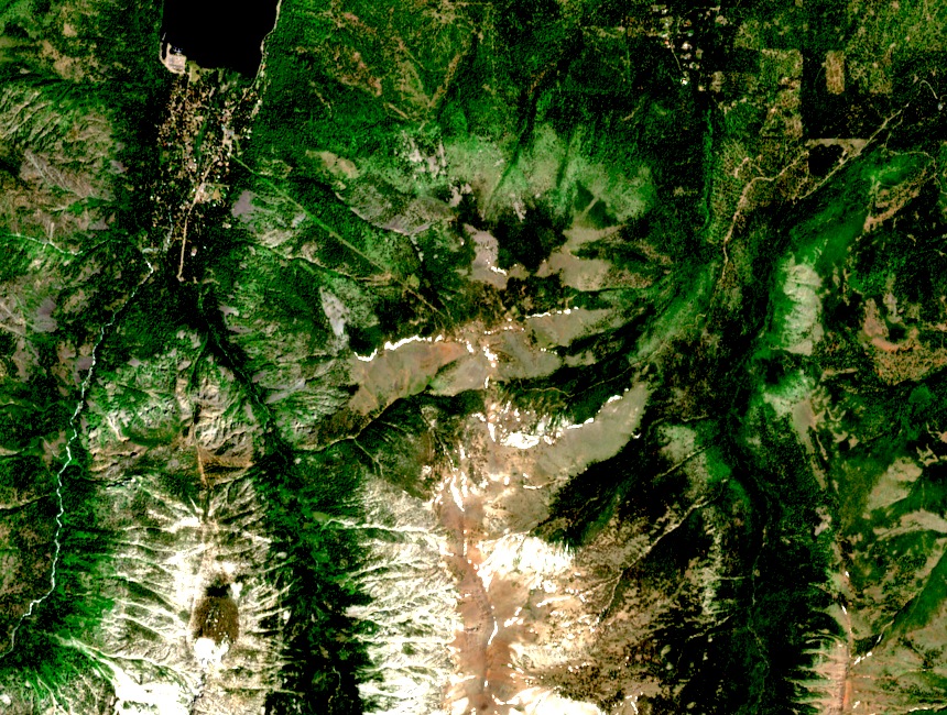
Wallowa Lake sits on Mount Howard's southeastern flank, a moraine-dammed basin that the Oregon Department of Transportation's Hells Canyon management plan identifies as a defining local feature. The Wallowa Lake Tramway, which the operator dates to 1970, ascends the southeastern side of this glacial basin, its upper station set within the alpine zone.
The Summit Viewshed
From the summit, sightlines reach across contrasting terrain: the Columbia River Basalt plateau country spreads to the north and west, its flat lava-capped surface a visual foil to the glacially carved Eagle Cap Wilderness peaks nearby. The Oregon state geology volume uses this vantage to orient readers to the broader stratigraphy of the Wallowa region.