
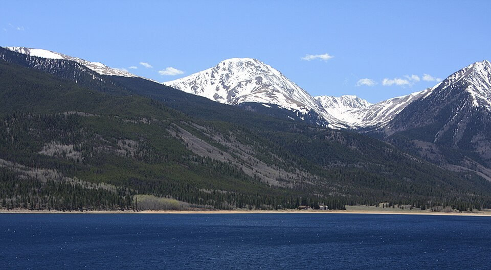
Summit and the Twin Lakes Mining Corridor
Modern LiDAR point-cloud compilation places Mount Hope at 13,939 ft, approximately 4,249 m, the contemporary recorded elevation for this Chaffee County summit. The USGS Geographic Names Information System lists the peak under its formal designation in the Sawatch Range.
USGS historical maps show the Twin Lakes corridor as a transport hub linking western Colorado mining settlements during the region's industrial era, with several major routes serving Leadville and surrounding communities passing through the valley.
Glacial Landscape
USGS historical glacial mapping identifies a substantial ice system in the Lake Creek and Twin Lakes valley, fed by numerous side cirques that contributed ice to the main trunk. This record of glaciation shaped the pronounced relief surrounding Mount Hope, including the cirque walls and valley profiles visible from the lake basin below.
Hope Pass
Hope Pass is a saddle situated below and beside the summit of Mount Hope. The Leadville Trail 100 Run, first held in 1983, designates the pass as the high point of its traditional out-and-back course, with competitors crossing it in both directions. Published elevations for the pass vary across sources.