
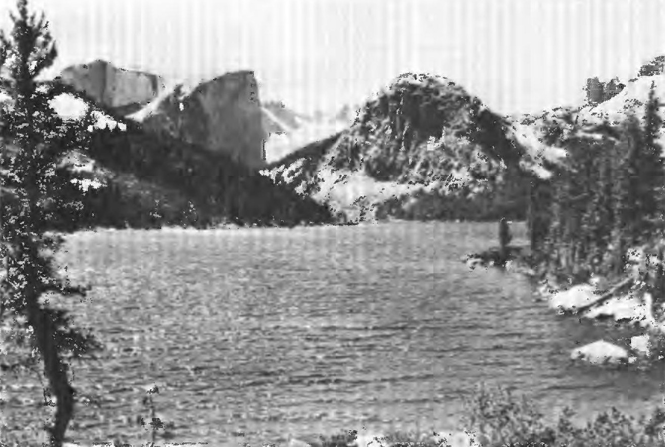
Summit Landform
The broad, sloping bench at the top of Mount Hooker is not a typical alpine apex. USGS reporting identifies it as a relic of an earlier erosion surface that survived the glacial carving that shaped the surrounding terrain, leaving the summit plateau as a geomorphic anomaly above an otherwise heavily sculpted range.
Early Ascent
A 1935 American Alpine Journal report describes an ascent by Mr. and Mrs. B. B. Gilman approaching from the Washakie Pass side, recorded there as an apparent first summit. The exact year of their climb is not confirmed beyond the article's publication date.
North Face Climbing History
In July 1964, Richard McCracken, Royal Robbins, and Charlie Raymond made the first ascent of the North Face. In August 1990, Paul Piana, Galen Rowell, Todd Skinner, and Tim Toula returned to the same wall and completed its first free ascent — a distinction in technique on a route that had already been climbed by aid.