
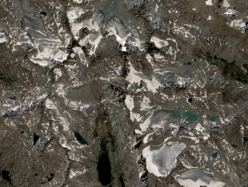
Ridgeline Character and Setting
Mount Helen sits on the high ridge between Gannett Peak and Fremont Peak, documented on the 1991 USGS Gannett Peak quadrangle. Titcomb Basin lies at a markedly lower elevation below this crest. Mount Sacagawea is a distinct neighboring summit; the Sacagawea Glacier is a separate named glacial feature, not a summit.
Glacial Geography
The U.S. Forest Service identifies five of the Wind River Range's larger glaciers within the high sector centered on Gannett Peak and the Helen–Fremont ridge. Named glaciers here include the Dinwoody and Fremont Glaciers; both span multiple ridges and drain into separate drainages rather than belonging to a single summit.
Survey Record and Naming
The U.S. Board on Geographic Names lists Mount Helen as a distinct crest summit. Its elevation of approximately 4,150 m derives from the 1991 USGS Gannett Peak quadrangle; digital models may differ, so the figure is treated as approximate. The name carries less documentary history than nearby Fremont Peak, named for John C. Frémont.