
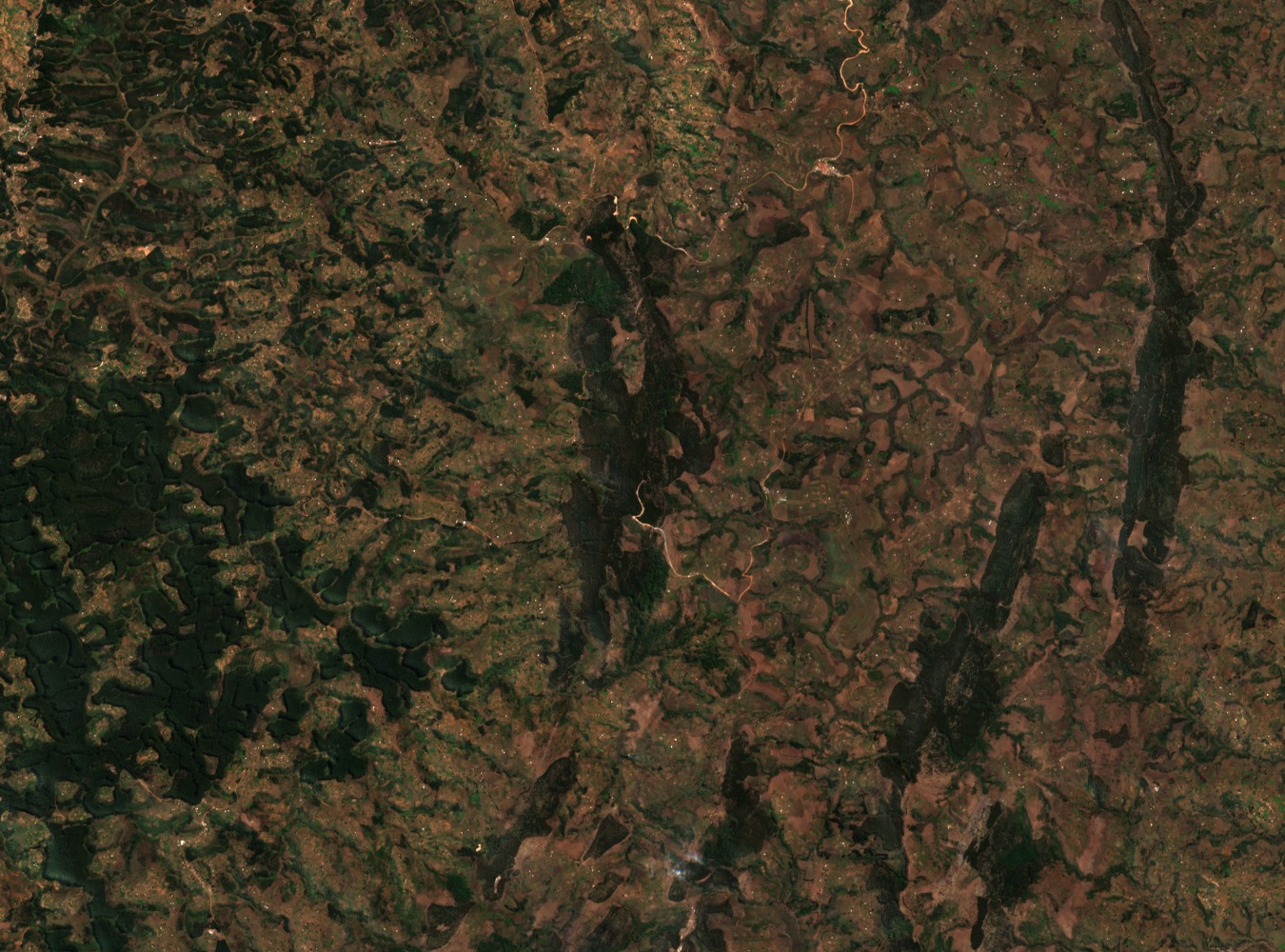
Position on the Congo–Nile Watershed
Heha sits close to the Congo–Nile divide, the hydrological boundary that separates drainage running west and southwest toward Lake Tanganyika and the Congo basin from water flowing north and east into the Nile system. World Bank national relief and drainage mapping places the summit within this highland ridge, which runs broadly north to south through Burundi's interior.
Western Escarpment and Lake Tanganyika Rift
From the highland crest, the terrain drops sharply toward the western rift valley floor occupied by Lake Tanganyika. This steep gradient, documented in Burundi's environmental assessments submitted to the World Bank, drives significant erosion on the western slopes, where vegetation cover directly influences sediment delivery to lower-lying areas and ultimately to the lake basin.
Landscape Restoration in the Western Highlands
A Burundi–GEF regional programme has examined the relationship between highland slope condition and downstream resilience around Bujumbura and the western hills. The programme identifies steep terrain of this highland zone as a priority area for vegetation management, treating slope stabilisation as integral to watershed health across the broader western escarpment rather than at any single summit site.