
Cartographic Record
The GNIS entry for Mount Healy records that surveyor Mabry Abbey used the name on a 1921 park boundary survey map, a document that predates the park's current designation and refers to it by its former name. This constitutes a dated cartographic record of the name's use and links it to the practical work of early federal land management in Alaska.
Ridge Geography and Extent
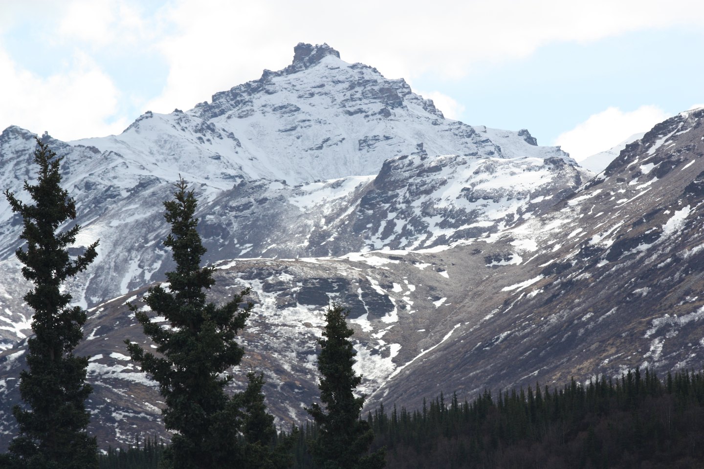
The National Park Service describes the Mount Healy ridge as spanning approximately 24 kilometers, running westward from the highway corridor toward the Savage River drainage. The overlook commonly associated with the mountain's name sits at an intermediate point along the ridge and does not represent its true summit.
Vegetation and Alpine Transition
The NPS describes a vegetation sequence along the ridge: boreal forest dominates the lower slopes near the road, giving way to rocky alpine ridges and snowfields at higher elevation. This forest-to-alpine transition reflects the range of habitats compressed within the ridge's vertical rise.